
play videoplay video
Video duration 03 minutes 16 seconds 03:16
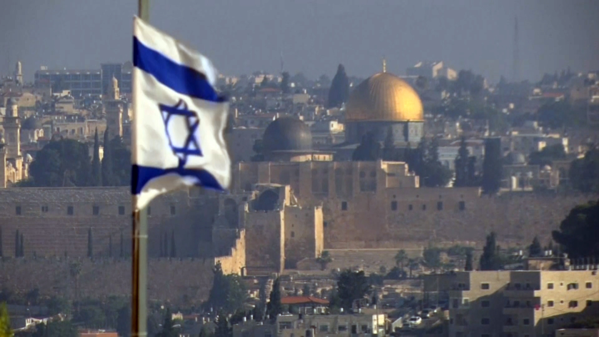
The occupied city of Jerusalem is surrounded by Israeli settlements and security barriers that impede the movement of Palestinians and their access to it.
Since its occupation in 1967, Israel hastened to isolate the Holy City from its Palestinian surroundings in order to facilitate its Judaization.
Occupied Jerusalem is surrounded by a separation wall about 142 kilometers long, which includes 11 main Israeli checkpoints, unlike many temporary ones. They are described as roads of pain and a scene for killing, arresting, and humiliating Palestinians, according to a report by media personality Nasiba Musa, which was broadcast by Al Jazeera.
1- Qalandiya Checkpoint: It is located north of Jerusalem, separating it from Qalandiya Camp, the town of Kafr Aqab, and the city of Ramallah. It is designated for the crossing of Jerusalemites in addition to permit holders from Palestinians in the West Bank.
2- Shuafat Checkpoint: It is located northeast of Jerusalem, and is intended for the crossing of Jerusalemites.
3- Beitunia Checkpoint: It is located on the lands of the town of Beitunia, west of the city of Ramallah. It is a commercial crossing designated for transporting goods from Israel to the West Bank, especially Ramallah, and is used by political figures visiting Ramallah coming from Jerusalem.
4- Hizma Checkpoint: It is located on the lands of the town of Hizma, which was left by the separation wall outside Jerusalem. It is designated for the crossing of settlers and Jerusalemites with their cars, and buses of foreign tourists and internal Palestinians also use it.
5- Al-Za’im Checkpoint: It is located in the Palestinian town of Al-Za’im, east of Jerusalem, which was isolated by the wall from the Holy City. It is intended for the passage of cars only, especially the vehicles of residents of the Maale Adumim settlement.
6- Al-Eizariya Checkpoint (Al-Zaytoun): It is located in the town of Al-Eizariya, east of Jerusalem, and is designated for pedestrians who hold traffic permits from West Bank Palestinians and Jerusalemites.
7- The Container Checkpoint (Wadi al-Nar): It is located on the lands of the town of al-Sawahra al-Sharqiya, east of Jerusalem, and separates the south of the West Bank from its center and north.
8- Abu Ghneim checkpoint: It is located east of the Jabal Abu Ghneim settlement, southeast of Jerusalem, and is designated for the crossing of settlers and Jerusalemites.
9- Checkpoint 300 (Rachel’s Dome): It separates Jerusalem from the city of Bethlehem to the south. It is designated for the crossing of Jerusalemites and those holding special permits from Palestinians, especially from areas of the southern West Bank, in addition to tourist buses.
10- Tunnel Checkpoint: It is located on the lands of Bethlehem, south of the city of Jerusalem, and is designated for the passage of Palestinian settlers and Jerusalem ID holders.
11- Al-Walajah Checkpoint: It is located near the town of Al-Walajah, south of Jerusalem and west of Bethlehem, and is designated for the crossing of settlers from the south of the West Bank and the people of Jerusalem.
It should be noted that the number of settlers in the West Bank - including East Jerusalem - is about 750,000, distributed among 176 settlements and 186 settlement outposts.
There are 15 settlements in the city of Jerusalem called “ring settlements,” the most prominent of which are Maale Adumim, Gilo, Givat Zeev, Ramat Eshkol, Ramot, Atarot, Har Homa, and Abu Ghneim, as Israel wanted to build them in 1997 to erase the identity and Arabism of the Holy City, and to tighten the settlement cordon around and within Jerusalem. .
Source: Al Jazeera