
Europe 1 with AFP / Photo credits: PASCAL POCHARD-CASABIANCA / AFP 18:33 pm, June 09, 2023
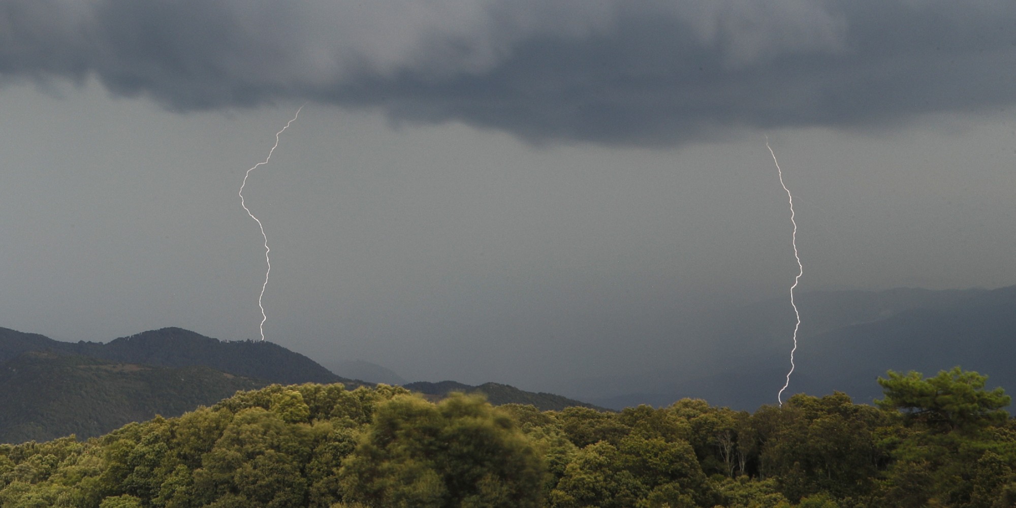
The Gard and the Hérault have been placed in orange vigilance "thunderstorms" and "rain-floods" from Friday 18 p.m. to Saturday 2 a.m. by Météo France, with accumulations of precipitation that could reach 100 mm or more punctually.Two departments, Gard and Hérault, have been placed in orange vigilance "thunderstorms" and "rain-floods" from Friday 18 p.m. to Saturday at 2 a.m. by Météo France, with accumulations of precipitation that could reach 100 mm or more punctually. This stormy degradation could give strong accumulations in a short time, "of the order of 50 to 70 mm (or 50 to 70 liters per m2) in one hour", and could be "accompanied by hail and wind gusts of up to 80 km / h", according to the meteorological institute.
A stormy degradation takes place in the evening on the #Herault and #Gard with locally strong accumulations reached in a short time: 50 to 70 mm in 1 hour, a risk of #grêle and wind gusts up to 80 km / h https://t.co/h3so1yk2rIpic.twitter.com/IbE1omVVAR.
— VigiMétéoFrance (@VigiMeteoFrance) June 9, 2023
Up to 100 mm of rain in places
These storms could temporarily be stationary with accumulations that can reach in places 100 mm, "punctually a little more", warns Météo France. While showers concerned in the afternoon the Cévennes and the East of the Hérault, the location of the strongest storms in the evening "still remains uncertain, these may occur on the Haut-Languedoc or rather towards the plains," say forecasters.
In Montpellier, in order to anticipate the expected runoff and flood risks, the Piraeus quay, in the city center, has been closed to parking and the various low points of the city will be closed according to the evolution of the situation, according to a statement from the municipality. Public parks and gardens will also be closed for the evening.