
The specialist noted that the temperature on weekends will be higher than the temperature on the last days of the work week.
“Our temperature today will rise to 0...-5 °C. At the end of the day, even precipitation is forecast, albeit small, but it is precipitation. At night, the intensity of precipitation will increase because more intense warm air masses will arrive from the south-southwest. Therefore, there will be precipitation in the form of both sleet and snow. During the day, in the first half of tomorrow, this precipitation will decrease significantly,” Vilfand said.
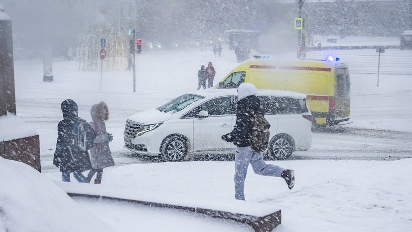
According to him, the height of snowdrifts in the capital will increase.
“It is still very large, 62 centimeters at our VDNH station. This exceeds the norm by one and a half times and is very close to the record values of 1966,” added the RT interlocutor.
He also warned that air circulation will change and pressure will increase early next week. The precipitation, however, will stop.
“On Monday the temperature will be quite low, about 2-3 degrees below normal. On Tuesday the temperature background at night will be down to -16 °C, on Monday -7...-10 °C. And daytime temperatures are about -5 °C,” Vilfand concluded.
Earlier, Alexander Ilyin, a forecaster at the Meteo-TV forecast center, said that abnormally cold weather had set in from St. Petersburg to Anadyr.