
He said that "in Central Russia, the meteorological winter continues to stall, but at the beginning of the coming week it will still make a half step forward."
“A snow cyclone of North Atlantic origin with its center over the Middle Urals will unfold in its rear part, and polar air will rush into the region after the cold atmospheric front, the wave of which in the next day or two will reach the interfluve of the Volga and Don.
As a result, the thaw will be replaced by frosts and the temperature background will be one or two degrees below the required climatic norm, "- quotes the words of the meteorologist RIA Novosti.
He said that frosts would hit on Monday night, a little snow would fall in some places, and a slight ice layer would form.
In the daytime, the reverse diurnal temperature variation will be indicated, which, despite the sun peeking out from behind the clouds and the minimum probability of precipitation, will continue to decrease and go into the negative sector of thermometers - 0 ...- 5 ° С.
According to Tishkovets, "Tuesday night will be the coldest of the current season against the background of increased atmospheric pressure."
“In low-cloud weather the air will first cool down to -5 ...- 10 ° С, during the day - only -1 ...- 6 ° С.
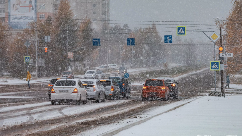
On Wednesday night it will also be frosty - -5 ...- 10 ° С and without precipitation, but in the afternoon the warm front of the next baric envoy of the North Atlantic will rush to the Russian Plain, due to which the thermometer columns will rush to zero height, the multi-tiered sky will be tightened clouds, there will be heavy snowfall with a total precipitation of 3-5 mm, the wind will intensify, a weak blizzard will whirl, the snow cover will grow up to 4-5 cm in the evening, ”Tishkovets said.
The forecaster said that the second half of the week will be marked by a west-eastern transfer of air masses of Atlantic origin, in connection with which frosts will decline and daily temperature fluctuations will fit into the range of -3 ... + 2 ° С.
He added that "on Thursday it will be dry, and by the end of the week cyclones will activate - there will be more clouds, precipitation in the mixed phase and icy phenomena will not do without, which means that the onset of a real Russian winter is postponed to December."
Earlier it became known that 20% of the monthly precipitation rate fell in Moscow during the day on November 20.