
Chinanews, August 9th. According to the official Weibo news of the Ministry of Emergency Management, the Ministry of Emergency Management issued a comprehensive risk warning alert for the next three days at 12:00 on the 9th: It is expected that there will be frequent rainfall in many parts of northern China on August 9-11. , North China and Northeast China have strong convective weather. On the 11th, there was a heavy rainfall in the eastern part of Northwest. The risk of disasters such as wind and hail, mountain torrents, landslides and mudslides was high. It is necessary to do well in advance of the transfer of people in dangerous areas.
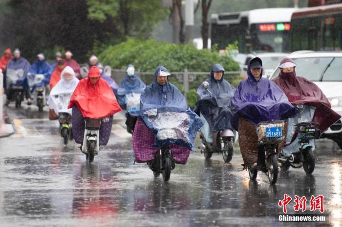
Data map: Citizens travel in the rain. Photo by China News Agency reporter Wei Liang
There is a lot of precipitation in southwestern Yunnan, southeastern Tibet, and southern Guizhou. Extreme precipitation may occur locally in the Sichuan Basin. It is necessary to prevent floods and geological disasters in the rainstorm area and pay attention to the process of rising water in the upper and middle reaches of the Yangtze River. Jianghuai, Jianghan and other places are still dispersed to heavy rains. Anhui, Hubei, Hunan, Jiangsu and other places need to prevent flooding of small and medium rivers, urban waterlogging and geological disaster risks. Jiangnan, eastern southern China, western Inner Mongolia, southern Xinjiang basin and other places need to guard against high temperature, drought and secondary risks.
This year's No. 5 typhoon "Qianwei" will move northward in the eastern part of the East China Sea and cause wind and rain.