
An abnormal cooling is expected in the Ural region and Siberia. This was told to "Rossiyskaya Gazeta" by the head of the laboratory of the Hydrometeorological Center of Russia Lyudmila Parshina.
According to her, the Arctic cyclone will bring low temperatures to the region. The peak of cooling is expected on Thursday, November 14, it will occur in the south of Western Siberia. Snow and blizzard are expected in the Novosibirsk, Tomsk and Kemerovo regions, heavy snowfall in the north of the Altai Republic. At night, in the territory from Omsk to Altai, the temperature can drop to -30 ° C or lower. -8 ...- 15 ° С is expected in the afternoon. In the Nenets Autonomous Okrug and the Komi Republic at night, the thermometer bars will show about -29 ° С, in the north of the Irkutsk region - up to -40 ° С.
On the night of November 14, a gale and blizzard hit Sakhalin. The GU EMERCOM for the region reported the closure of the Kholmsk - Vanino ferry crossing, connecting Sakhalin and the mainland. Due to the worsening weather conditions on the island, intercity bus service was limited.
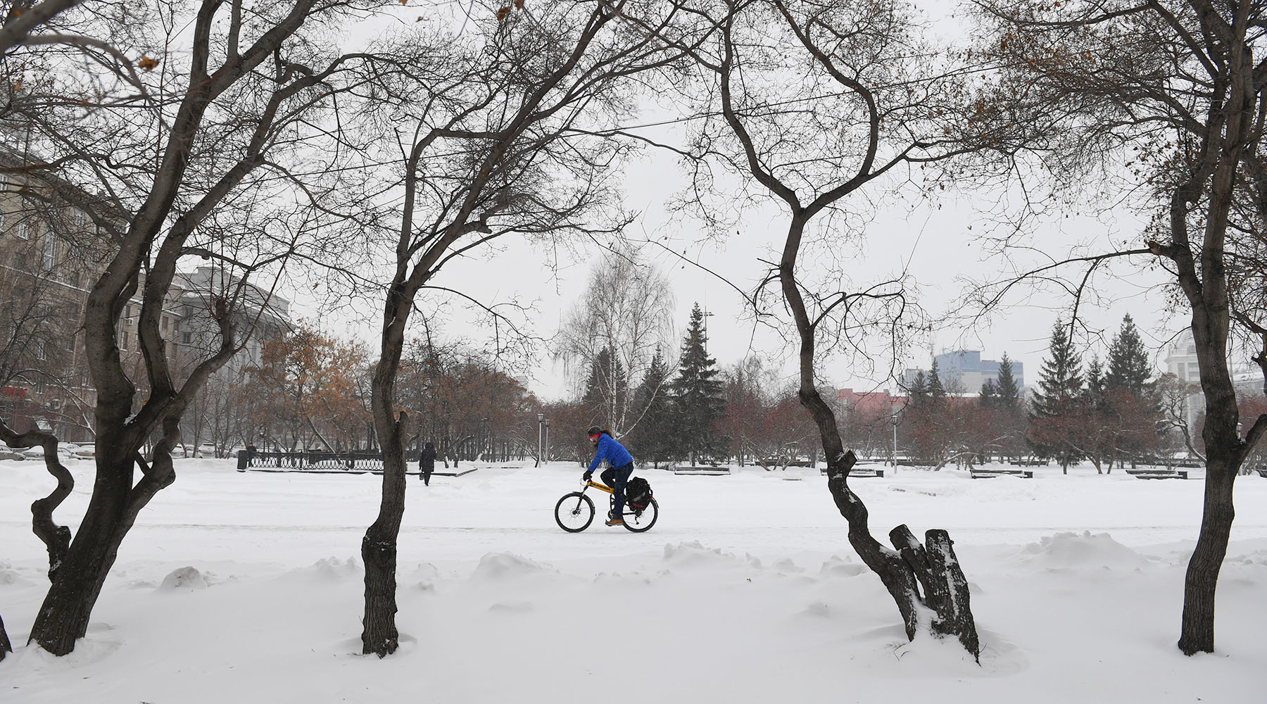
- Square in Novosibirsk
- RIA News
- © Alexander Kryazhev
In Moscow, positive indicators will remain. In the daytime, the temperature fluctuates between +3 ° С and +7 ° С, slight frosts are possible at night. According to the Hydrometeorological Center, on November 14, a south wind will blow in the capital at a speed of 4-9 m / s. Partly cloudy, no precipitation is expected.
“Comfortable weather”
The chief specialist of the Moscow weather bureau Tatyana Pozdnyakova, in an interview with RT, confirmed that the thermometer columns in the capital have not yet dropped below zero, and nights will become a little cooler. This is due to the movement of air inside the anticyclone.
“We will determine the weather in the area of high atmospheric pressure. This anticyclone originally had a part of cold air, today at an altitude of one and a half kilometers the air temperature was negative, but this air was transformed, and today we will be on the warm side of this anticyclone, ”Pozdnyakova explained.
In this case, until the end of the week it will be relatively dry. Strong cooling is not expected. In Moscow, until Sunday, November 17, daytime temperature fluctuations will remain within +1 ... + 7 ° С.
The south wind will remain, it will be he who will maintain the temperature regime and ensure air circulation.
“In the anticyclone, as a rule, there will be an accumulation of harmful impurities, but we will be on its warm periphery, a moderate south wind will prevail, which will contribute to the ventilation of the city, so the air will be clean and the weather on the weekend will be comfortable and favorable,” concluded the weather forecaster.
Recall that in early November, weather forecasters said that the approaching winter would be one of the warmest in the history of meteorological observations. They even proposed the introduction of a new term - “cherry” winter.
Temperature Anomalies
The scientific director of the Hydrometeorological Center Roman Vilfand, for his part, noted that the weather until the end of the week in the European part of Russia will be quite stable, without temperature jumps.
“The weather is completely homogeneous, which consists in the fact that the temperature at night is near zero, during the day it is +3 ... + 6 ° C. No precipitation, frequent sunshine, calm comfortable weather. And such a temperature regime is four to five degrees higher than long-term values, ”he said in an interview with RT.
At the same time, most of the country is now in a very cold weather zone with deviations of 10-18 degrees below normal, Villefand said.
As the scientific director of the Hydrometeorological Center explained, the weather east of Moscow is determined by two atmospheric phenomena.
“There are two baric formations: the East Siberian cyclone, it acts on the Asian part of the country, and the cyclone that came from the north, its zone of influence is the east of the European part of Russia and the west of Asia. It is in this vast territory from the Urals to the east, including Yakutia, that the temperature will be with abnormal values, ”said Vilfand, adding that there is more than one hotbed of cold weather in the region.
Abnormal frosts will last four to five days, reports TASS. Cold temperatures are also forecasted in Altai and Krasnoyarsk territories. In the south of Yakutia, in Transbaikalia, in Buryatia, Khabarovsk Territory and the Jewish Autonomous Region, the thermometer columns can drop to -32 ...- 45 ° С.
Earlier, the Hydrometeorological Center noted that a permanent snow cover has already been established in the north of Siberia. Due to the large number of snowfalls, it is only increasing, in places the height of the snowdrifts already exceeds 30 cm. In the Khabarovsk Territory, about one month of precipitation fell on the night of November 14, TASS reports citing the Far Eastern Hydrometeorological Center.