
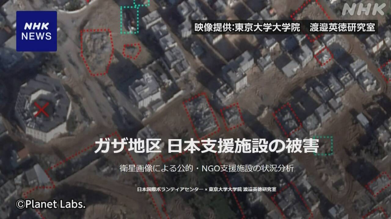
Map of damage to Japanese aid facilities in Gaza Strip analyzed using satellite images released. Tokyo reports on the damage to schools, hospitals, and other facilities that the Japanese government and NGOs have supported in construction and operation.
Researchers at the University of Tokyo have created a map using Satellite images to analyze the damage. and started publishing it on the website. The Israeli military continues to be attacked by the Israeli military. In addition, satellite images taken of schools in the north show large holes in the schoolyard and around the school building that appear to be the remains of air strikes.