
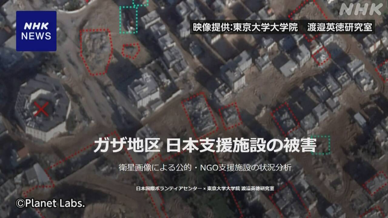
Researchers at the University of Tokyo have created a map using satellite images to analyze the damage to schools, hospitals, and other facilities that the Japanese government and NGOs have supported in construction and operation in the Gaza Strip, which continues to be attacked by the Israeli military. and started publishing it on the website.
Professor Hidenori Watanabe of the University of Tokyo Graduate School and the Japan International Volunteer Center, an NGO that conducts support activities in the Gaza Strip, have reported that 11 facilities in the Gaza Strip that have been supported by the Japanese government and Japanese NGOs have been attacked by the Israeli military. We have analyzed the damage caused by the earthquake using satellite images and have begun publishing the results on our website.
Among these, at the hospital in Khan Yunis in the south, satellite images taken about three weeks ago showed tents believed to be those of people who had evacuated crowded together in the parking lot and garden. Photos taken of the same area in 2017 show that the surrounding area has expanded and nearby residential areas have been destroyed, indicating that the Israeli military attack is approaching the hospital.
In addition, satellite images taken of schools in the north show large holes in the schoolyard and around the school building that appear to be the remains of air strikes, and the diameter of the holes suggests that weapons with high lethality may have been used multiple times. That means there is.
Mai Namiki from the Japan International Volunteer Center said, ``Aerial photographs show that the damage has been so severe that it seems impossible to restore people's lives, and I wonder why the facilities that support people's lives are not attacked. I think the Japanese government, which has been providing support, should also demand a thorough explanation.''