
“Meteorology”: unstable weather conditions today and tomorrow
A drop in “temperature” and rain accompanied by “lightning and thunder” until tomorrow
The state of atmospheric instability continues to remain partly cloudy to cloudy.
Photography: Ashok Verma
Concerned teams send weather warnings in the affected areas in a timely manner.
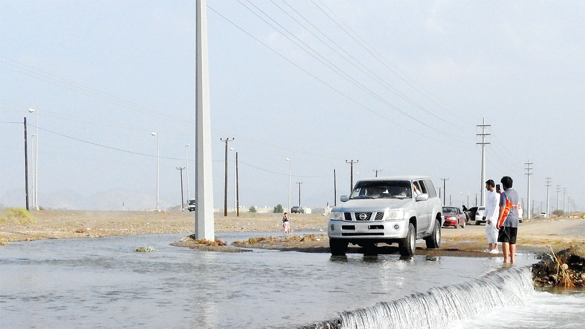
archival
picture
As of today, the country is witnessing a state of air instability as a result of the passage of a surface depression from the southwest with an extension of an upper depression from the north, accompanied by an air current from the west and a cold and moist air mass in the upper layers of the atmosphere, where the weather is partly cloudy to cloudy, and interspersed with some Cumulus clouds accompanied by rainfall of varying intensity, with lightning and thunder sometimes in separate areas.
While the National Center of Meteorology expected temperatures to tend to decrease, while the winds will be southeasterly to northeasterly, light to moderate in speed, active to sometimes strong, with cumulus clouds, becoming dusty, and its speed ranges from 20 to 30 km/h, reaching 55 km. / O on the sea, which is medium to rough waves in the Arabian Gulf and in the Sea of Oman.
The center indicated that the weather tomorrow witnesses the continuation of atmospheric instability to remain partly cloudy to cloudy, interspersed with some cumulus clouds accompanied by rain of varying intensity with lightning and thunder in separate areas, with another noticeable drop in temperature, explaining that the winds remain southeast to north. Eastern, moderate to brisk, and sometimes strong, with cumulus clouds, becoming dusty, with a speed ranging from 20 to 30 km/h, reaching 60 km/h on the sea, which is turbulent in the Arabian Gulf and in the Sea of Oman.
The center stated that the weather next Friday will be partly cloudy in general and cloudy at times, with rain falling in some areas, especially the coastal, northern and eastern regions, while the winds will be southeasterly to northeasterly, turning to northwesterly, light to moderate, sometimes active, and its speed ranges from 15mph. It reaches 25 km/h, reaching 40 km/h on the sea, which becomes medium waves, sometimes turbulent in the Arabian Gulf, and light to medium waves in the Sea of Oman.
And the center expected that the weather next Saturday will be partly cloudy in general, and it will be cloudy at times in some northern and eastern regions, with a chance of rain during the day, then it becomes humid at night until Sunday morning in some internal areas with the possibility of light fog formation, while the winds will be northwesterly light to Moderate speed, sometimes active, and its speed ranges from 10 to 25 km/h, reaching 40 km/h on the sea, which is medium to rough waves in the Arabian Gulf, and light to medium waves in the Sea of Oman.
Since the beginning of the second half of this month, the country is witnessing a decrease in temperatures, so that the weather is cold during the day and sometimes very cold during the night in general. .
North wind
This month, the state witnesses remarkable activity of the northwest winds sometimes (called the north winds), which stir sand and dust, especially in the internal and open areas. These winds also lead to a significant rise in sea waves, while the relative humidity increases, especially in the early morning as a result of the passage of moderate air masses Above the waters of the Gulf towards the state, which provides an opportunity for the formation of light and dense fog, and the incidence of fog increases over the inland regions more than the coastal regions.
Follow our latest local and sports news and the latest political and economic developments via Google news