
A 5.8-magnitude earthquake hit the island of Java, the largest island in Indonesia, Thursday morning, according to the US Geological Survey, less than a month after an earthquake struck the same area, killing more than 300 people.
The US Geological Survey said that the quake occurred at 07:50 am local time (00:50 GMT), noting that its epicenter was located about 15 kilometers from the city of Cianjur, located in West Java.
She added that there is a slight possibility that this earthquake may have resulted in casualties or material damage, given its depth (123 kilometers above sea level).
Last month, a smaller earthquake (5.6 magnitude) hit the city of Cianjur, but at a shallow depth, killing more than 330 people and injuring thousands.
The earthquake also caused the displacement of tens of thousands of people whose homes were destroyed or forced to flee due to landslides.
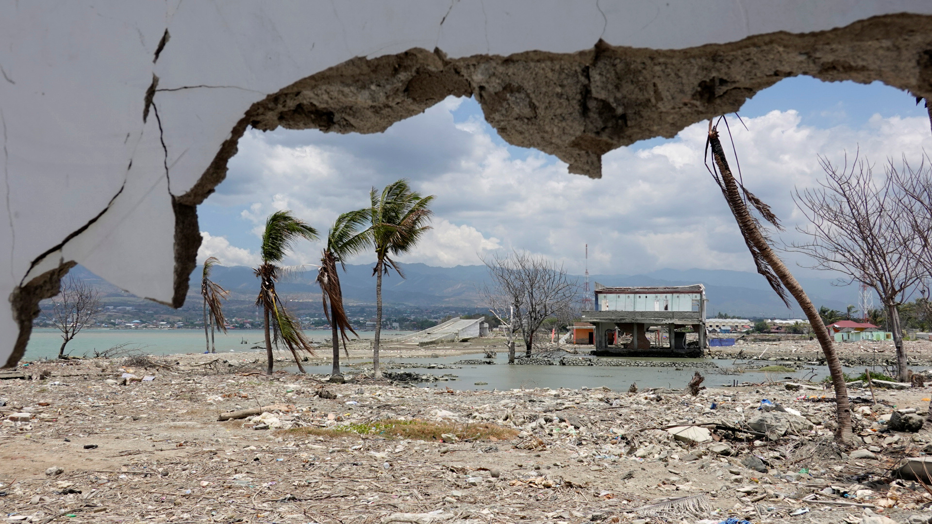
It was the deadliest earthquake in the archipelago since the 2018 earthquake that triggered a tsunami that killed more than 4,000 people on the island of Sulawesi.
Indonesia is located on the "Ring of Fire" in the Pacific Ocean, where tectonic plates meet and their friction leads to earthquakes and volcanic eruptions.
Two days ago, the Krinchi volcano, the highest mountain on the island of Sumatra in Indonesia, erupted, and smoke rose from the crater at a height of 700 meters.