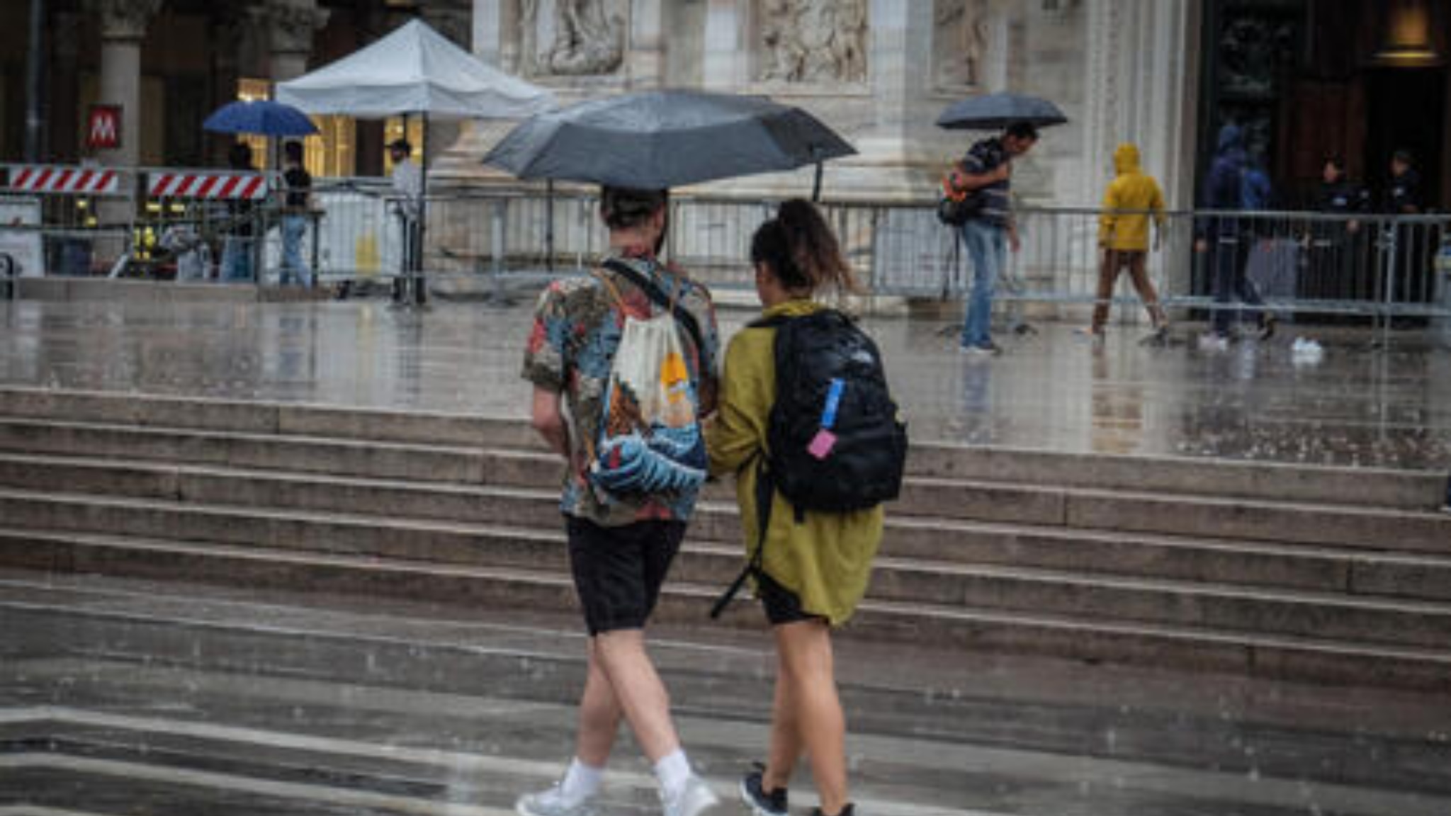
Tomorrow,
Friday 16 September,
the fourth disturbance
of the month
it will pass through the Center-North and slide towards the South, favoring a
increased
instability along the whole peninsula
.
In the meantime
, another disturbance
will approach the northern regions, favoring a
marked increase in instability
between eastern Lombardy and the north-eastern regions.
On
Saturday,
the risk of
rain and thunderstorms
will affect the North-East, the Center and the lower Tyrrhenian sector.
There will be a
decisive strengthening of the wind
and a
drop in temperatures
that will also reach the southern regions and the two major islands in the day, thus putting an
end to this long period of exceptional heat
.
For the day of
Sunday 18
a clear and general
improvement
is confirmed with the return to
sunny weather
and
generally weak winds
.
Italy is therefore suffering
a double attack
: the
ex-hurricane Danielle
is bringing bad weather to the Center-North with heavy rains and storms and it will be he who will continue to dictate the law for another 24 hours, especially in the Triveneto and along the Tyrrhenian regions.
While in the night between Friday and Saturday, a
polar disturbance will arrive from Sweden
which, in addition to the rains, will also cause an extreme and sudden drop in temperatures.
The sum of these two perturbations will result in the sudden arrival
of an autumnal climate
, with a drop of at least 10 ° C which can reach 15 °, where the last shocks of the North African climate still resist.
In numbers, in the Center-North it will go from a minimum of 20 ° C in the plains to a minimum of 8 ° C at dawn on Sunday, in the South and in Sardinia, from a maximum of 35-37 ° C to a maximum of between 20 and 25 ° C.
Other significant thermal drops will also be felt during the day
in the North, for example Milan
from 30 ° C today to 20 ° C on Sunday,
Bologna and Venice
will even drop to a maximum of 19 ° C on Saturday with heavy rains and winds of storm.
In
Lazio
, scattered to diffuse precipitation is expected, including downpours or thunderstorms and these phenomena will be accompanied by strong showers, frequent electrical activity, hailstorms and strong gusts of wind.
The civil protection of
the Campania Region
has issued a weather alert notice for rains and thunderstorms, even of strong intensity, throughout the region from 21 today until 21 tomorrow, Friday 16 September.
The hydrogeological and hydraulic criticality level is: Orange in some areas and Yellow in the rest of the region, but with thunderstorms which in any case could be intense.
The operating room of
the regional civil protection of Tuscany
has extended the yellow code for severe thunderstorms and hydrogeological risk until midnight today.
The perturbation in transit over Tuscany will lead to thunderstorms of a scattered nature, more probable and frequent in the central and central southern areas.
Possible gusts of wind and hail.
In
Friuli Venezia Giulia, in Trieste,
the firefighters are busy with all available teams to resolve the damage created by the strong storm that hit the city this morning.
At the moment about forty requests have reached the command operations room but the emergency calls continue.
Among the various damages there are many floods and many fallen trees and branches.

