
It is the Swedish Agency for Community Protection and Preparedness that, together with SMHI, county administrations and municipal rescue services, has developed the ability to detect fires using satellites.
It can be seen as a complement to forest fire monitoring flights that are already in use.
- Experience from the test shows that it has very good potential and the technology will be of great benefit to the rescue services.
So we have put the technology into operation in 2022, says Stefan Andersson, administrator at MSB.
Detect and locate fires
The primary purpose is to be able to detect forest fires early and start extinguishing work before the fires spread.
But the rescue services have also highlighted in their feedback that the system was good for positioning fires.
- It is something that may not always be simple based on a call, where it may be that you smell a smell or see a column of smoke.
Then the technology is also useful, says Stefan Andersson.
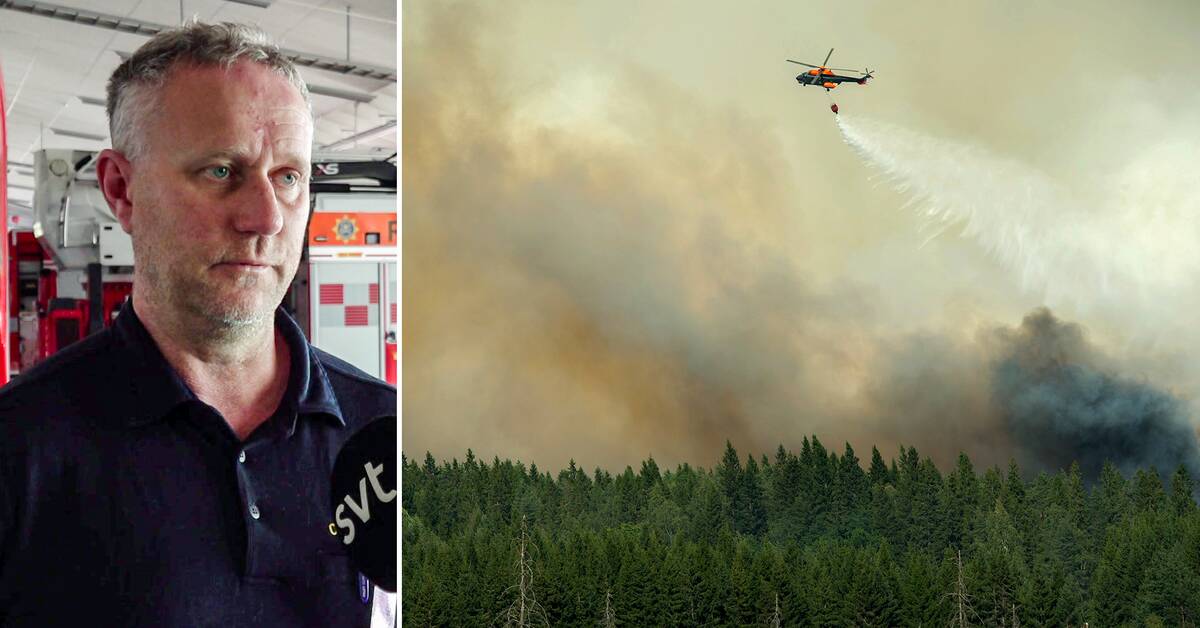
The fire service found a fire
Recently, Räddningsregion found the Bergslagen to a fire on a clearing north of Svartå in Örebro county, using the method.
- They had been out there looking and found nothing.
It was with the help of detection from satellites that we were able to locate the fire, says Claes Hagenmark, officer on duty at the Bergslagen rescue region.
Although in the vast majority of cases it turns out to be real fires, false detections do happen.
MSB is working on being able to better filter it out in the future.