
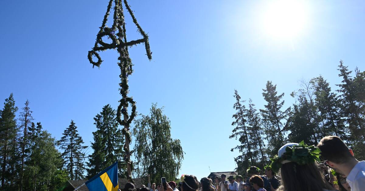
- The most characteristic thing this midsummer is that it has been hot in a large part of the country, with high summer heat all the way up to southernmost Lapland, says Lars Knutsson, meteorologist at SMHI.
Two stations reached 29.7 degrees, Härsnäs in Östergötland and Sveg in Härjedalen.
But only one station in Sweden reached over 30 degrees on Midsummer's Eve: Gothenburg.
- It is the highest for this year, so far, says Lars Knutsson, meteorologist at SMHI.
The heat remains
Midsummer day looks to be even warmer, as the midsummer heat picks up in northern Norrland as well.
- It is likely we will get a new season high tomorrow, says Knutsson.
However, a cold front is approaching over Denmark.
- You can probably count on some clouds over the west coast landscape.
There may be a rain or thunderstorm over Västra Götaland.
Otherwise, it will be sunny in principle the whole country tomorrow.
Risk of thunder
Most indications are that the cold front with rain turns in over southern Sweden on Tuesday and moves north on Wednesday.
- But the heat does not disappear.
It looks like it will be hot most of the week.
The risk is that some heat thunderstorms will bloom during the next week.
The sun and heat mean that the risk of forest fires remains high in large parts of the country.
- In principle, most of Götaland, Svealand and southernmost Norrland and in Tornedalen it is really dry.
There is reason to be very careful if you are out in the fields, says Lars Knutsson.