
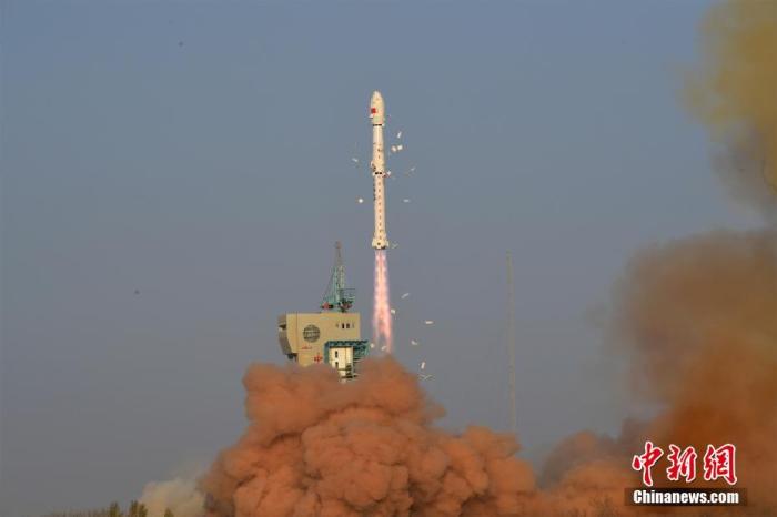
China News Agency, Beijing, April 7 (Ma Shuisha and Liu Jinyang) On April 7, the Gaofen-3 03 satellite was successfully launched by the Long March 4C carrier rocket at the Jiuquan Satellite Launch Center.
The successful launch of the Gaofen-3 03 satellite marks the successful completion of the Gaofen-3 series of satellite launch missions, and Samsung has joined hands to weave a "Sky Eye Net" in space.
It is reported that the satellite is mainly used to obtain reliable and stable high-resolution SAR images, and to provide operational application data support for China's marine development, terrestrial environmental resource monitoring, and emergency disaster prevention and mitigation.
Photo by Wang Jiangbo
The Gaofen-3 series of satellites were developed by the Fifth Academy of China Aerospace Science and Technology Corporation.
The Gaofen-3 03 satellite launched this time and the 02 satellite launched last year are based on the Gaofen-3 01 satellite (also known as the Gaofen-3 satellite), with the addition of the automatic ship identification system (AIS), and the Some performances have been upgraded and optimized.
It is understood that the biggest feature of the network operation is to give full play to the advantages of multi-satellite collaborative observation to form the application efficiency of "1+1+1>3".
With the blessing of three stars, the powerful advantages of the space "Sky Eye Net" are particularly prominent.
According to the development team of the Gaofen-3 03 satellite, the Gaofen-3 01 satellite has focused on the revisit and coverage needs of China's land and jurisdictional waters during the orbital design.
In order to maximize the application efficiency of satellites, the research and development team chose to evenly distribute the Gaofen-3 series of satellites on the same orbital plane. The time for Samsung to circle the earth is 99 minutes.
This design will increase the number of satellite observations, improve the revisit capability and global coverage capability, and further enhance the satellite's ability to support marine information services and respond to disasters.
The Samsung network will greatly shorten the revisit cycle.
Zhang Qingjun, the chief commander and chief designer of the Gaofen-3 series satellites, said that the repeated observation of a certain area by the Gaofen-3 01 satellite will take up to 3.5 days, which cannot meet the current huge application needs, especially the high timeliness of emergency disaster reduction. sexual requirements.
Today, the network operation has reduced the average revisit time from 0.6 days for a single satellite to 0.2 days for a three-star satellite, and the average revisit period has been shortened from 15 hours for a single satellite to 5 hours, and an area can be imaged 5 times in a single day.
The Samsung network will greatly improve the imaging capabilities of large areas of the ocean.
In 2016, once the Gaofen-3 01 satellite was launched, it created a record of nearly an hour of single continuous imaging by a high-power remote sensing satellite.
After the Gaofen-3 01 satellite was put into operation, the development team investigated the application situation. After learning that the ocean observation urgently needs to expand the monitoring area, the single continuous imaging time of the global observation mode of the 02 and 03 star ocean continuous detection was extended by one day. Times, once again set a new world record. Samsung's network can capture nearly one-fifth of the world's oceans in one imaging, and it will become easier to give the earth a "family portrait".
The Samsung network will more accurately monitor major disasters and infrastructure.
Zhang Qingjun pointed out that improving the efficiency of satellite applications is the original intention of constellation construction.
The Gaofen-3 01 satellite has been in a state of saturation for imaging missions for a long time, and there is a great domestic demand for civilian SAR data.
"The Gaofen-3 series of satellites fly through the Samsung formation, which can quickly form an effective interference baseline and carry out the operational operation of ground deformation interferometry." Zhang Qingjun said that this function can be widely used in surface subsidence monitoring, earthquake monitoring, and glacier transportation. Movement monitoring, road and railway deformation monitoring and landslide monitoring, etc.
After the network is established, the overall imaging capability of the Gaofen-3 series of satellites will be greatly improved, marking that China's civil high-resolution SAR satellite data has officially entered the commercial application stage from the demonstration application stage.
(over)