
The background is a high pressure that has parked east of us.
- Warmer air has flowed in over the country during the last week, and as the sun has started to heat up a little more, the temperature has risen above zero degrees even at night.
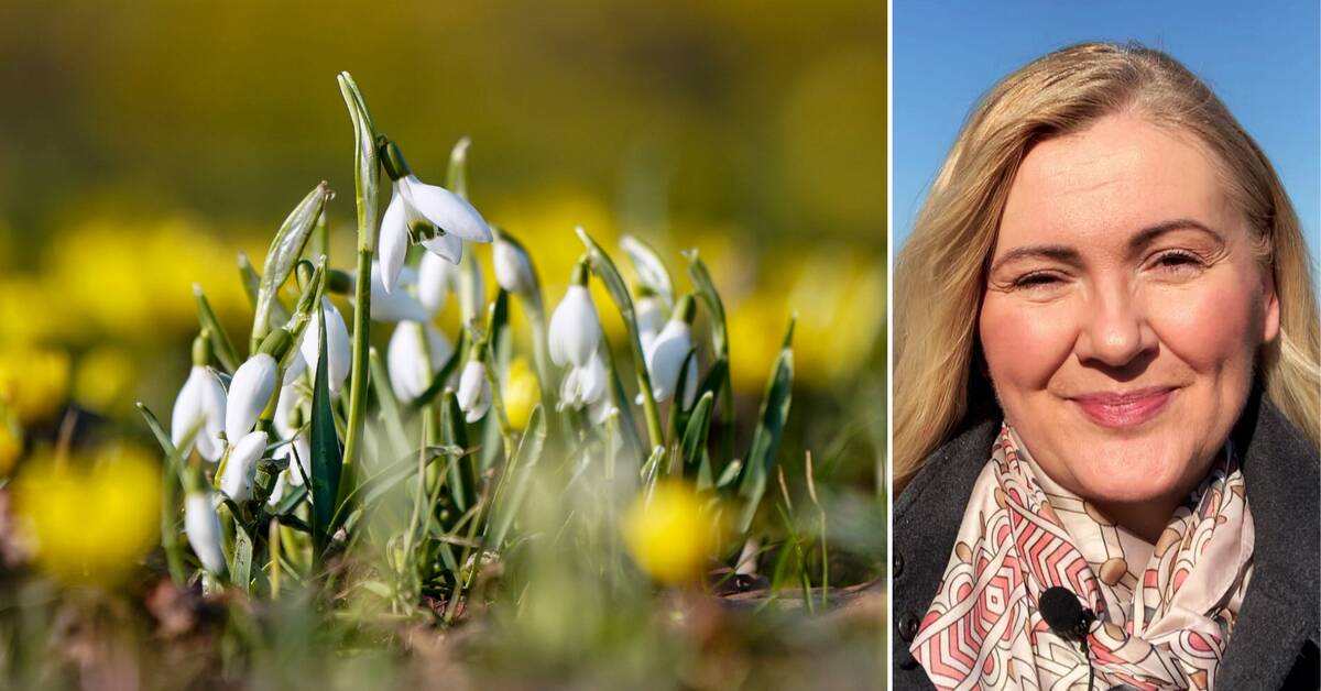
That was enough for spring to come.
It is noticeable in nature as well, it is here and there were some flowers.
Spring is taking over quickly
And Deana Bajic believes that spring in the coming days will quickly spread to even more places in the county as the weather continues to be high-pressure until the night towards Friday.
- Then there may be a weak front from the west with a little rain, but it will not be cold.
A little cloud and a little rain.
Then it is high pressure on the way in again and it will be sunny and up to ten degrees, with plus degrees even at night, until next week.
Risk of aggravated drought
But the sunny weather can also be bad news.
- It can be very dry, which is not good for plants and groundwater.
It is much drier than normal so far in March and that trend will probably continue two weeks ahead, says Deana Bajic.
In a couple of weeks, according to the long-term forecast, it looks like it will be more volatile, but it is currently an uncertain forecast.
•
YOUR WEATHER PICTURES:
Have you photographed the onset of spring in Sörmland?
Or something else weather-related from the county?
Send the pictures to us via sormland@svt.se (do not forget to enter place, time and your name).
We will show a selection of the pictures in our broadcasts on SVT1 on Thursday.