
The Swedish Maritime Administration began work on the new charts in the Gulf of Bothnia and has now reached the south of Stockholm's archipelago.
In the autumn, the authority met with criticism from several quarters for the new cards after sound and bays disappeared and new foundations suddenly appeared, at the same time as old known foundations and grains disappeared.
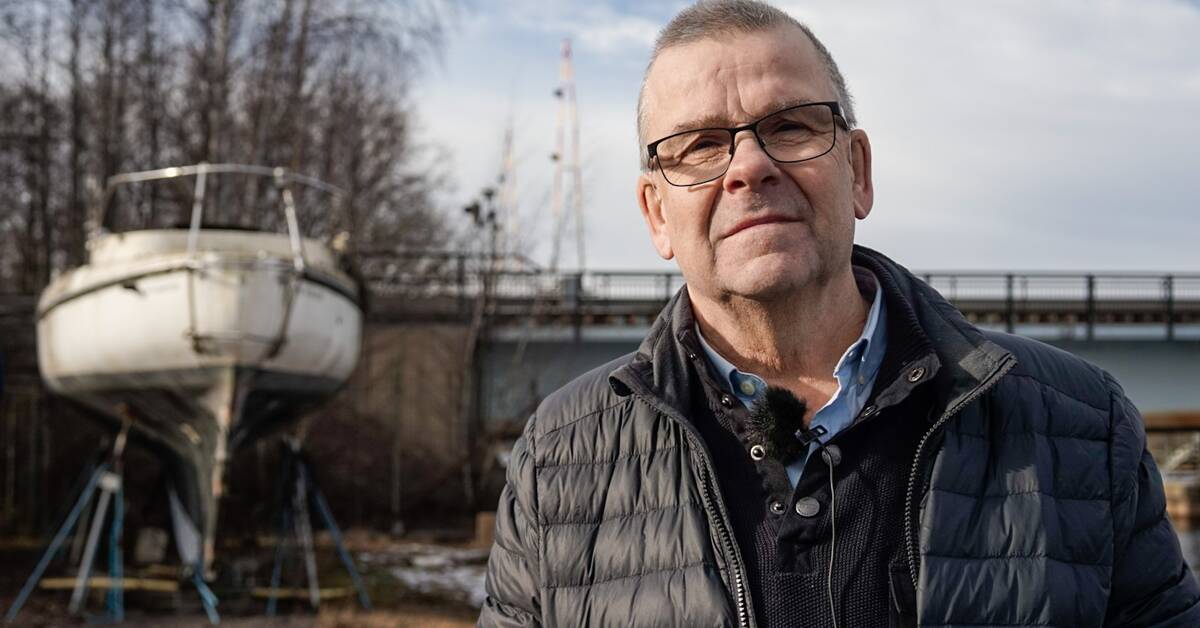
Concerns among boat owners
Work will soon begin on the new maps even further south and there is concern from boat owners in Östergötland, among other places.
- The risk is obvious that people who sail on a bay and who then need to take port because it is very windy can not enter the port because today it is suddenly dark blue on the chart, which means that the water is between zero and three meters deep.
In that situation, you do not dare to go in if you do not know the water before, says Lars Göran Nyström, boat owner and involved in the Cruiser Club.
Can not take refuge
He thinks the situation is serious.
- I think it's really serious that you may not be able to go in and take emergency measures, says Lars Göran Nyström.
Takes height for land uplift
The Swedish Maritime Administration says that the land uplift has been taken into account because much of Sweden's water has not been measured since the 19th century.
- We have updated the charts due to the land uplift that has taken place.
In these areas where we have received criticism, there is no modern measurement data, so we have applied a precautionary principle so that you do not run aground there, says Magnus Wallhagen, head of the Swedish Maritime Administration's department for maritime geography.
In the next few weeks, the Swedish Maritime Administration and three of the major interest groups for boat owners will meet in a meeting.
In the clip, Lars Göran Nyström and the Swedish Maritime Administration's Magnus Wallhagen tell more about the new cards.