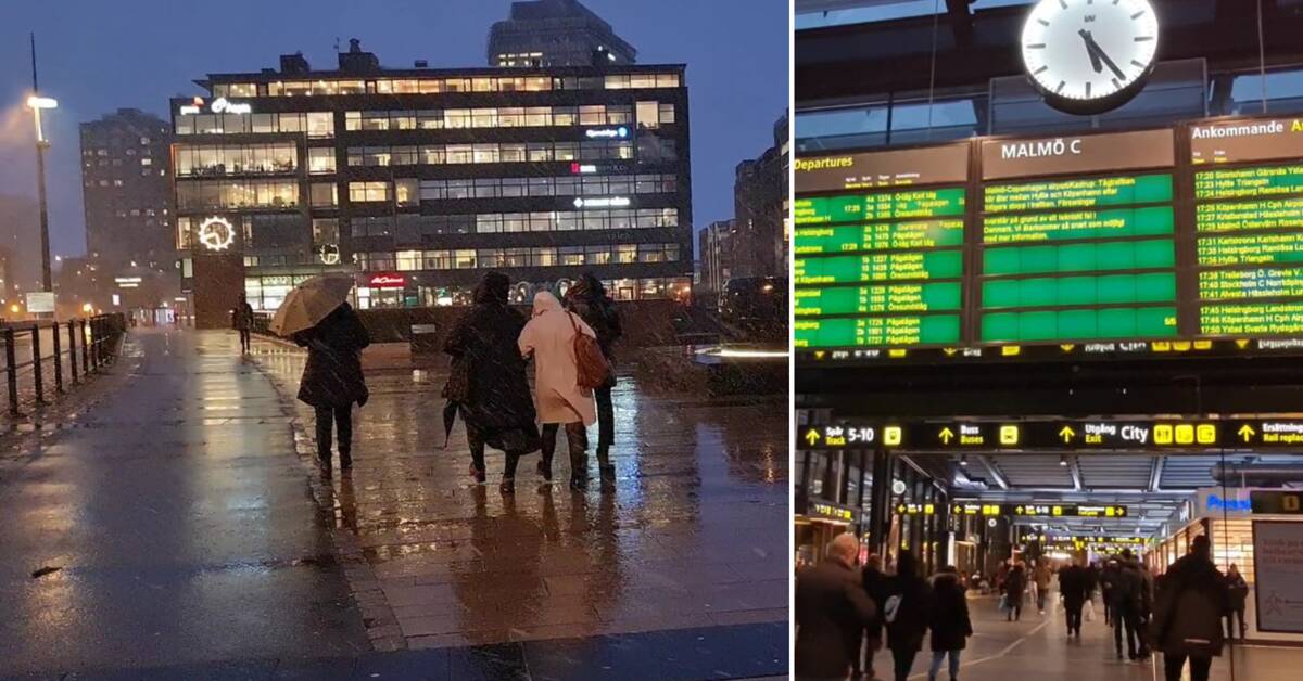
On Friday, a new named storm comes in over Skåne.
It has been named Nora by Danish meteorologists and it is mainly from Friday evening to Saturday morning that there is a risk of storm surges in the county.
- The fact that the Danes have given the storm a name is because Denmark, together with Germany and the United Kingdom, are the countries hardest hit by the storm.
In Skåne, it's about storm surges, but it can be around 25 meters per second, says SVT's meteorologist Nils Holmqvist.
Canceled trains
It is in Söderslätt and Österlen that it will be the windiest and due to that the Swedish Transport Administration will close some train tracks between Friday evening and Saturday morning.
Two examples are the Malmö-Ystad and Malmö-Trelleborg sections.
- The winds culminate on Friday night.
On Saturday morning, there may be storm surges along the Öresund coast, but later on Saturday the winds will decrease, says meteorologist Nils Holmqvist.
Replacement buses will replace the routes that Pågatågen would have traveled, but no replacement traffic will be used over the Öresund Bridge.
The Swedish Transport Administration also recommends that wind-sensitive vehicles refrain from driving over the bridge.
Risk of power failure
Peter Hjalmar, Regional Manager Syd E.ON sees a risk that trees will fall over the power lines.
- This is the third storm in a short time, so we have deployed extra staff in the operations center and in the forest from today to over the weekend out of pure precaution, says Peter Hjalmar.
Kraftringen is also raising its preparedness for the storm.
- We see that Eslöv, Hörby, Höör, Klippan and Åstorp are areas that can be hit extra hard and therefore we are deploying extra staff now in the evening and over the weekend there, says Mattias Brage, press manager at Kraftringen.

