
中东部两轮大范围雨雪接连登场 陕晋豫鄂部分地区有大到暴雪
中国天气网讯 未来三天(1月22日至24日),中东部大范围雨雪持续,陕西、山西南部、河南西部、湖北西部部分地区将有大到暴雪,湖南、广西和云南等地的部分地区有大雨。25日至28日,中东部新一轮大范围雨雪过程接踵而至,需注意防范连续雨雪天气的不利影响。
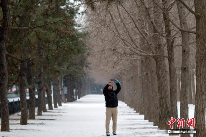
资料图:市民拍摄雪景。中新社记者 盛佳鹏 摄
两轮大范围雨雪连续来袭 陕晋豫鄂部分地区有大到暴雪
昨天,我国中东部大范围雨雪天气持续,监测显示,内蒙古中部、陕西中北部、山西、河北、北京、天津、河南、山东西部、湖北西北部及新疆沿天山一带等地出现小到中雪或雨夹雪,山西中部、河北南部、河南中北部等地5~12毫米。另外,江西北部、湖南北部、贵州东南部、广西及福建南部沿海、广东东部沿海等地出现中雨,部分地区大雨,广西南宁、崇左局地暴雨(50~75毫米)。
未来三天,中东部大范围雨雪继续“在线”。其中,今天,北方降雪总体减弱;明天,降雪再度增强,陕西、山西南部、河南西部部分地区将有大到暴雪;后天,北方降雪减少。同时,南方大部阴雨持续,部分地区有大雨。
具体来看,中央气象台预计,今天,西藏西部和东部、甘肃东部、宁夏南部、陕西大部、河北东部、辽宁西部、天津、河南西部和北部、湖北西北部、山东等地部分地区有小到中雪或雨夹雪,其中西藏西南部局地有大到暴雪。江淮、江汉、江南、西南地区东部、华南大部等地部分地区有小到中雨,其中,湖南南部、广西北部局地有大雨(25~45毫米)。
Tomorrow, some areas of central Inner Mongolia, southern Xinjiang Basin and western southern Xinjiang, western and northern Tibet, eastern Gansu, most of Shaanxi, southern Hebei, most of Henan, western Shandong, northwestern Hubei, and northern Anhui will have small to Moderate snow, among which, there are heavy snowstorms in parts of western Tibet, central and northern Shaanxi, southern Shanxi, western and southern Henan, and northwestern Hubei.
Most of Jianghuai, most of Jianghan, Jiangnan, eastern Southwest, South China, Taiwan Island and other places have light rain. Among them, there are parts of central and southern Anhui, southern Jiangsu, southern Hubei, central Jiangxi, central Zhejiang, and central Guangdong. Moderate rain.
The day after tomorrow, some areas of eastern Inner Mongolia, southwestern Heilongjiang, southern Xinjiang Basin, northern and eastern Tibet, eastern Gansu, southern Ningxia, most of Shaanxi, western Shaanxi, most of Henan, western Shandong, and northwestern Hubei have small to medium Snow, among which, heavy snow (5-7 mm) occurred in parts of southeastern Tibet, southern Gansu, central and southern Shaanxi, and northwestern Yunnan.
Most of Jianghuai, eastern Jianghan, most of Jiangnan, the eastern and southern parts of Southwest China, southern China, Taiwan Island and other places have light to moderate rain. Among them, there are heavy rains in parts of northwestern Yunnan and other places.
From the 25th to the 28th, a new round of large-scale rain and snow in the central and eastern parts of the country followed.
Under the superposition of the two rounds of precipitation, there will be more rain and snow days in some areas. For example, Nanyang, Henan and Xiangyang, Hubei will experience rain and snow for 6 to 7 days in the next week.
The cumulative precipitation in eastern Guizhou, northern Hunan, Hubei, southern Henan, and central and southern Anhui will far exceed the average precipitation in late January, and there may be local extremes.
It is currently during the Spring Festival travel, rain and snow will have a greater impact on traffic travel, the public should pay attention to reasonable arrangements for the itinerary, pay attention to road traffic information in a timely manner, and pay attention to safety when traveling.
Many places in the north are cloudy and cold throughout the day, and the south is wet and cold. Pay attention to keeping warm
In terms of temperature, affected by frequent rain and snow, the temperature in many places in the north continued to be sluggish, and the body felt colder.
In big cities, such as Beijing, Tianjin, Shijiazhuang, Zhengzhou and other places, the highest temperature in the next three days will be only around 0°C, and it will continue to be cloudy and cold throughout the day.
The temperature in many places in the south will also slowly drop. After the 24th, the highest temperature in Jiangnan and other places has gradually dropped to the same or lower than normal. The highest temperature in cities such as Changsha and Nanjing is only about 5°C. The weather is humid and cold, so you need to keep warm .