
China News Service, March 26. According to Kyodo News, on the 26th, the Mount Fuji Volcano Disaster Prevention Countermeasures Conference, composed of the three prefectures of Shizuoka, Yamanashi, and Kanagawa, released a disaster prevention map revised based on the latest insights. The eruption of Mount Fuji caused the lava flow to reach 12 cities and towns including Suruga Bay in Shizuoka Prefecture and Otsuki City in Yamanashi Prefecture as far as possible, which greatly exceeded previous expectations.
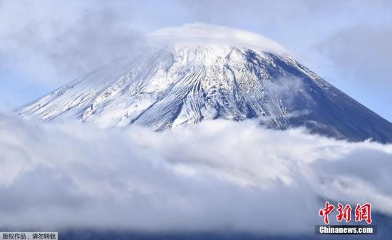
Data map: Mount Fuji is covered with snow in Fujiyoshida City, Yamanashi Prefecture, Japan.
According to reports, the Japanese central government will additionally designate these areas as "volcanic disaster alert areas" based on the "Active Volcano Countermeasures Special Measures Act."
For these 12 municipalities and surrounding local governments, formulating and adjusting evacuation plans has become a top priority.
In the future, the council will revise the wide-area evacuation plan and discuss in detail the areas that need to evacuate and the number of target residents.
According to reports, the current disaster prevention map was formulated by the Japanese central government in 2004, and the agreement will begin to revise it in 2018.
In terms of the assumption of lava flow, the new version of the disaster prevention map reflects the latest research. From 864 to 866, the eruption of Mount Fuji was revised to 1.3 billion cubic meters, which is about twice the maximum assumed volume of the old map; the envisaged crater It also increased by about 5 times, reaching 252; the reach of all lava flows in the eruption mode was also displayed on the map.
According to reports, if Mount Fuji erupts on a large scale, the lava flow will reach Odawara City, Sagamihara City, Kanagawa Prefecture, and Uenohara City, Yamanashi Prefecture.
In Fuji City, Shizuoka Prefecture, in some cases, lava flows will reach the ocean.
In Fujinomiya City and Yamanashi Prefecture Fujiyoshida City, lava flows can reach some urban areas and main national highways within 2 hours.
For snow melted by pyroclastic flows, etc., the snow-melting volcanic mud flow formed by entraining mud and sand, the disaster prevention map newly estimated the estimated time of arrival.
The results show that volcanic mud flows quickly along rivers and valleys, and in some places may reach urban areas in a short time.
The report pointed out that in a series of map revision operations, the agreement will expand the eruption age as the envisaged object from the past 3,200 years to the past 5,600 years, and also explored newly discovered volcanic craters.
In March 2020, the council issued an interim report stating that the lava flows and pyroclastic flows formed by small-scale eruptions have a longer arrival distance than in the past, which may render major roads impassable.