
A warm front passes Sweden and brings with it really mild air.
On Tuesday, plus degrees are expected in almost the entire country and in the south it will be 10-15 degrees warm in many places.
But it also means that the risk of grass fires is great.
- It happens every year when it gets warmer and drier in the spring.
When the dry last year's grass emerges and the sun begins to warm.
The risk of grass fires has been great on Monday in large parts of Götaland and snow-free parts of Svealand and will be the same on Tuesday, says Anna Belking, meteorologist on duty at SMHI.
Mild westerly winds
The heat seems to last for the rest of the week.
- It is mild air that has flowed in with westerly winds.
And the temperature seems to be able to reach just over ten degrees if the sun shows up and helps.
It is clouds that can dampen the temperature.
But around ten degrees it looks like it will be the rest of this week in southern Sweden.
Even in northern Sweden it will be plus degrees, but not so high temperatures, says Belking.
The heat can cause the risk of grass fires to creep north.
- Yes, once the snow cover disappears and last year's grass emerges.
Right now the snow line is from northern Värmland and upwards.
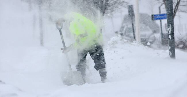
Storms in the north
But in the far north it can be a real storm.
Already on Tuesday, there is a risk of difficult conditions with wind and snowfall over mainly the Lapland mountains.
- But then it is on Wednesday that a fairly deep low pressure will move over northern Scandinavia.
In connection with this, there is a risk of storm surges on Wednesday afternoon and evening, which mainly applies to the interior of Norrbotten County.
And in the mountains, the average wind can come up in a storm at the same time as the snow villages can be abundant, says Anna Belking.
- But it is still a bit uncertain about the path of this low pressure and after Wednesday night it looks like it will subside, she continues