
China News Service, October 7th. According to a report by the Japan Broadcasting Association (NHK) on the 7th, this year’s 14th typhoon "Canhong" may approach the Daitoshima area in Okinawa Prefecture, Japan on the 8th, and from Kyushu after the 9th. The southeastern part of the island moves along the southern part of Honshu Island to the north-east. Heavy rain is expected in West Japan and East Japan. The Japan Meteorological Agency urges local people to be vigilant.
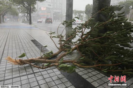
Data map: Japanese streets in typhoon.
According to the Japan Meteorological Agency, as of 15:00 local time on the 7th, the powerful typhoon "Canhong" has reached the ocean 380 kilometers east of Nandadong Island in Okinawa Prefecture and is heading west-northwest at a speed of about 20 kilometers per hour. Move in direction.
According to the report, the central pressure of the typhoon is 970 hPa, the maximum wind speed near the center is 35 meters per second, and the maximum instantaneous wind speed is 50 meters per second. The wind speed in the storm circle with a radius of 95 kilometers in the center of the typhoon exceeds 25 meters per second.
According to reports, the typhoon wind will continue to strengthen and approach the Dadongdao area in the early morning of the 8th local time.
Subsequently, the direction of the typhoon will gradually shift to the north. After the 9th, it may approach Kyushu, West Japan, and East Japan, and it is expected to bring strong winds and rainfall to various places.
The Japan Meteorological Agency has called on the public to pay attention to the latest information about the typhoon, and reminds people in areas close to the typhoon to be alert to geological disasters caused by storms and waves and heavy rain.