
The places that are expected to be hit hardest when the rainy weather draws in on Sunday are mainly in Dalsland and around the southern tip of Lake Vänern.
From Mellerud, Vänersborg and further south towards Ulricehamn.
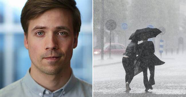
Risk of water damage
What can we expect for storms?
- The mildest will be a real autumn rush, with rain and wind.
But there can be such abundant amounts of rain that there will be floods on streets and basements can be damaged by water, says Nils Holmqvist.
When is it worst?
- During the afternoon and evening it rains the most, but then the wind has calmed down a bit.
By midnight, most of the rain has passed and it can be real late summer on Monday.
The storm "Alex" has subsided
The storm is the remnants of the storm "Alex" which has hit France and Italy hard.
- It has lost a lot of power and spread across Western Europe.
It is no longer a storm as there will be no more than strong village winds.
It is certainly really windy and there may be 20-50 mm of rain on Sunday.
Can be compared with the fact that there was 450 mm of rain in France, which is approximately half of Sweden's annual precipitation.
Southern France and northwestern Italy were hardest hit.
A few have died and a dozen are still missing, says Nils Holmqvist.
Hear SVT's meteorologist about how "Alex" is expected to hit Sweden in the clip below:
Javascript is disabled
Javascript must be turned on to play video
Read more about browser support
The browser is not supported
SVT does not support playback in your browser.
We therefore recommend that you switch to another browser.
Read more about browser support
Real autumn weather at the weekend Photo: SVT / TT