
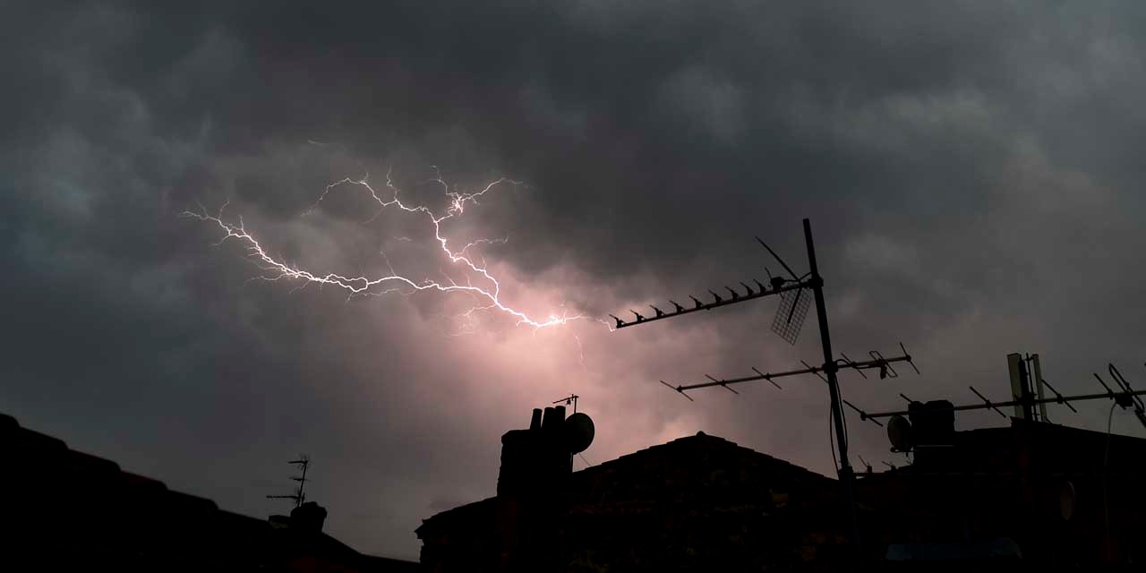
The weather will be stormy Wednesday over much of the country, according to Météo-France forecasts.
Tuesday, twenty departments, including eleven new, were placed in orange alert because of a risk of "violent storms" after a period of heat.
The alert launched by the forecast service until Wednesday at 12 o'clock, so far concerned the Ain, the Doubs, the Jura, the Loire, the Haute-Loire and the Rhone, but also the Isere, Saone- and Loire and Haute-Savoie. But Météo-France has extended orange vigilance to eleven new departments in its latest bulletin: on the one hand, Bas-Rhin, Haut-Rhin, Vosges, Territoire-de-Belfort and Haute-Saone, and Aveyron, Cantal, Lot, Lozère, Tarn-et-Garonne and Puy-de-Dôme.
Return of the rain next night on Brittany
A stormy episode will approach the south-west of the country, from the Pyrénées-Atlantiques and Hautes-Pyrenees towards Périgord and Quercy during the evening of Tuesday and then go up during the night to the Massif Central and the east side of the country. At dawn on Wednesday, we will find a still marked instability over a large north-eastern quarter of the country, stormy showers will be frequent from the Massif Central to the northern Alps, Burgundy-Franche-Comte and the Grand-Est . These thunderstorms will gradually decline during the day to the east and will only concern the eastern borders in the late afternoon, the Alps and the Jura in the evening.
The instability, although a tone below, will also be present on a good part of New Aquitaine, Occitanie and the west of the Massif Central towards the Berry, the Champagne and the Ardennes, the showers will be frequent but thunderstorm activity will be lower.
Further north, from the mouth of the Garonne, over a large north-west quarter of the country and to the Belgian borders, the sky will be variable, it will alternate between sunny periods and cloudy periods, carrying a few showers.
It should be noted, however, that the clearings will become wider in the afternoon even if the sky will be clouded by clouds of altitude increasingly dense from the west, announcing the arrival of a new rainy degradation in progress evening and night on Brittany.
Up to 31 degrees in Marseille
The Mediterranean rim will keep a luminous sky, even if altitude clouds will circulate from time to time and that low clouds will be tenacious on the Corsican coast.
At daybreak, the thermometer will show 14 to 17 degrees on the shores of the Channel, 17 to 20 on the rest of the country with peaks of 20 to 22 on the Mediterranean shoreline. The maximum will be close to 22 degrees in Lannion and Dunkirk and Strasbourg, 23 in Auxerre, 24 in Lille, 25 in Rodez, 28 in Bordeaux, 31 in Marseille and Bastia.