
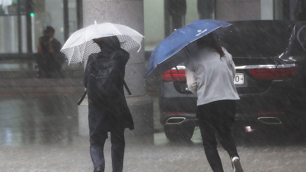
On Saturday (1st), a very strong rain is expected in Seoul and Gyeonggi-do accompanied by a blast, thunder and lightning.
The Korea Meteorological Administration announced that at 9 am today, heavy rain warnings were in effect in the northern part of Gyeonggi, such as Yeoncheon-gun and Paju-si, and there was a strong rain of more than 30mm per hour accompanied by thunder and lightning.
The Korea Meteorological Administration has a very strong rain of 50~80mm per hour accompanied by blasts and thunders and lightnings around Seoul, Gyeonggi-do, and Yeongseo, Gangwon from morning to night, so it is especially necessary for facility management, low-level flooding, and rain traffic safety. I told you to be careful.
It is expected that the rain will show a brief lull in the morning on the morning of the 2nd, and then fall from the evening to the night of the 3rd with a gust of wind, thunder and lightning, at a rate of 50 to 80 mm per hour.
The Korea Meteorological Administration explained that, due to the stagnant electric line between North Korea and Seoul, Gyeonggi-do, and Gangwon-do from the North Hwanghae Province until the 3rd, the width of the precipitation between the neighboring regions in the north-south direction could be very large due to the development of a narrow rain cloud between north and south and a long east-west rain cloud. I did.
During this period, the rainwater in the North Hwanghae Province, North Korea, can cause a rapid rise in water levels around the river basins in the northern part of Gyeonggi, such as the Imjin River and the Hantan River.
The Meteorological Administration repeatedly emphasized that there will be heavy rain between the night and the morning when the disaster is vulnerable, so campers and summer campers should be aware of safety accidents.
(Photo = Yonhap News)
Northern Gyeonggi News Up to 80mm of rain per hour in Seoul/Gyeonggi
2020-08-01T11:40:45.090Z
On Saturday, today, there will be a very strong rain with gusts, thunder and lightning in Seoul and Gyeonggi-do. The Korea Meteorological Administration announced that at 9 am today, heavy rain warnings were in effect in the northern part of Gyeonggi, such as Yeoncheon-gun and Paju-si, and there was a strong rain of more than 30mm per hour accompanied by thunder and lightning.
Source: sbskr