
"The better the position and the faster we get to the site, the better it is. Time makes a big difference. Therefore, the satellites are a great help, says Tobias Josefsson, officer on duty at the Rescue Service Southeast.
For a couple of years, the satellites were tested as a project at several rescue services, including Jönköping, but as of this year they have become permanent.
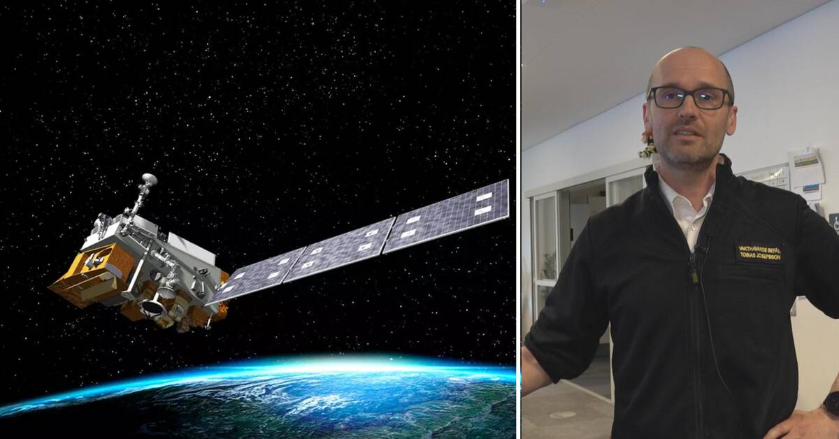
In the clip, Tobias Josefsson, officer on duty, explains how it works when they receive an alarm from a satellite.
Fire flight up over 3,000 hours
The rescue service is greatly assisted by the voluntary fire flight that detects many forest fires. Last year, they flew a whopping 3441 hours in the country and discovered 105 fires.
Most flight hours and detected fires were logged in Kalmar County. During the summer of 2022, 574 hours were flown there and 32 fires were detected.
This can be compared with Kronoberg County, where they flew 150 hours and discovered 12 fires, and in Jönköping County, where six fires were detected during 213 flight hours.
Can satellites replace fireflight?
The satellites will not replace fire flights, but should be seen as a complement. For example, the satellites can only detect fires when the weather is clear.
"If, for example, a fire starts after the fire flight has just flown a turn, the satellites may be able to detect a fire in the gap in between, but you should see the satellites as a complement," says Rutger Ekbrand, head of rescue services at the Rescue Service Southeast.