
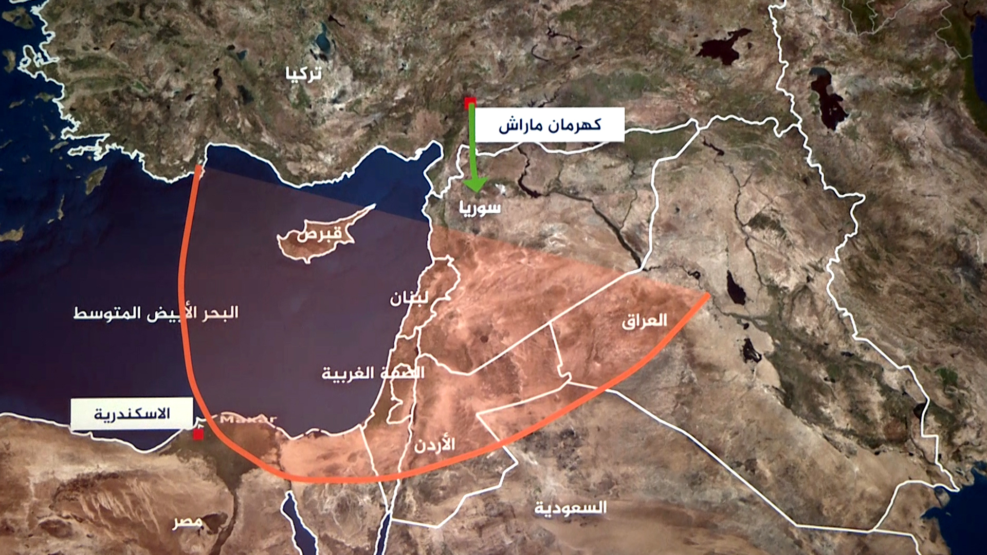
The interactive map shows the details of the earthquake that struck southern Turkey and northern Syria on Monday, leaving more than 4,400 people dead so far.
The map shows that the earthquake struck most of the southern states of Turkey, namely: Sanliurfa, Malatya, Addiman, Gaziantep, Kilis, Osmaniye, Hatay, Adana and Diyarbakir.
At a time when the death toll rose to 2,921 and the wounded to 15,834.
In Syria, the earthquake hit the provinces: Aleppo, Idlib, Hama, Lattakia, and Tartous, all the way to Damascus, whose residents felt the earthquake, as the number of victims rose to 1,504, and the number of injured reached 3,548.
Rescue workers in Turkey and Syria continue to search for survivors among the rubble of thousands of buildings that collapsed in the two countries, while the cold weather increases the plight of thousands of wounded and homeless people and hinders efforts to search for survivors.
This tremor is the most severe in Turkey since the August 17, 1999 earthquake, which killed 17,000 people.
At a time when the Turkish Disaster and Emergency Management Agency announced that 145 aftershocks occurred in the aftermath of the quake, which measured 7.7 on the Richter scale.