
Night towards Wednesday, an area of precipitation moves in over Götaland.
The worst hit will be large parts of Halland, large parts of southern Västra Götaland county and southeasternmost Småland.
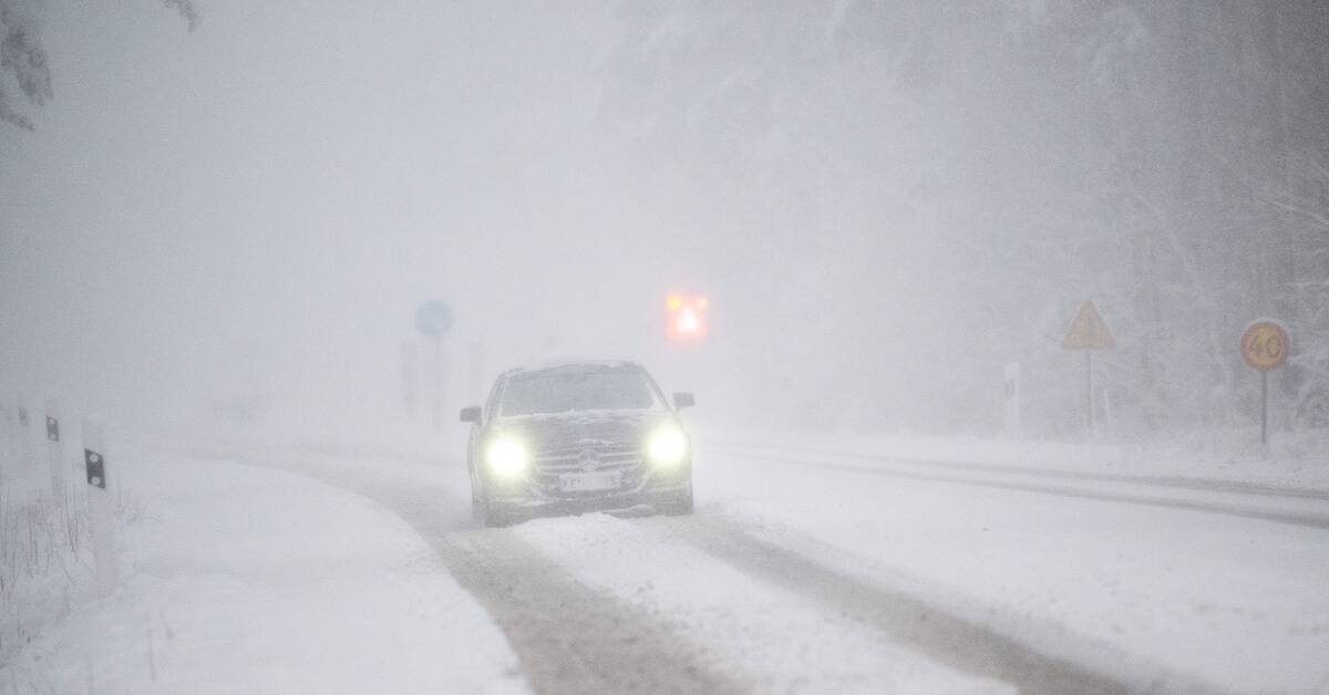
Initial rain is expected to turn into snowfall.
But it is uncertain where the largest amounts will end up and how quickly the transition from rain to snow will be.
The largest amounts are expected in the Halland area and here a little over 10 cm can fall, otherwise 5-10 cm.
The snowfall later moves further north.
During the afternoon, however, the precipitation changes to sleet or rain.
Yellow warning
Due to the snowfall, SMHI has issued a yellow warning until 2 p.m.
Traffic is expected to be slower due to slippage, slush, poor visibility and snow drifts.
Large parts of Jönköping County and Kronoberg County as well as westernmost Kalmar County and southeasternmost Västra Götaland County will also be affected by the snowfall.
Here is a yellow warning issued until 16:00.
The snowfall can make it more difficult to get on the roads where the snow removal does not have time.
Heavy snow on power lines can cause problems with the power supply.