
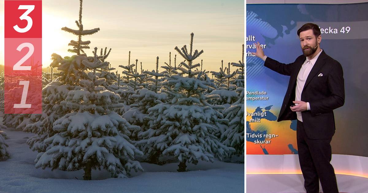
We are facing a cold December and large parts of the country can look forward to real winter weather in the next few weeks, says SVT's meteorologist Nitzan Cohen in Morgonstudion.
According to the long-term forecast, northern Sweden will gradually get colder weather during the next week.
The middle and southern part of the country will experience more unsettled and low-pressure weather with rain mixed with snow.
Cold weather next week
During week 50, the cold appears to be spreading across the country.
In the north of Sweden there can be temperatures of minus 30 degrees and in the south around minus five to ten degrees.
- It will probably be characterized by a southern low-pressure track with passing rainy weather that turns more and more into snow as you move in over Eastern Europe and Russia.
At the same time, we get fairly persistent cold winter weather, says Nitzan Cohen in Morgonstudion.
According to him, this indicates that there may be snow showers in the eastern parts of the country.
Hoping for a white Christmas
When we then enter the Christmas week, however, the weather looks to turn around and become milder and more unstable.
- Maybe it will be a white Christmas, but if you look towards week 51, there is a clear tendency for the Greenland blockade to weaken and it may release more mild air from the south.
It can be plus degrees and definitely moderate cold.
Some parts of the country will get snow in the week leading up to the Christmas holiday, says Nitzan Cohen.