
Marlène Duret, with AFP 7:51 p.m., September 14, 2022
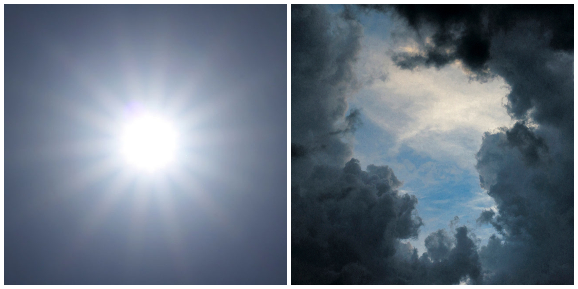
According to Météo France forecasts, the weather on Thursday will be calmer and sunny over a large part of the territory.
To the south of an axis going from the Charente coast to the north of the Alps, sunny spells will dominate until midday then a few showers will start.
The weather on Thursday will be calmer and sunny over a large part of the territory, according to Météo-France forecasts.
To the south of an axis going from the Charente coast to the north of the Alps, sunny spells will prevail until midday then a few showers will start.
From the Languedoc-Roussillon coast to the lower Rhône valley and the PACA region, the sun will be generous throughout the day.
The instability will continue on Corsica giving showers, sometimes punctuated by a thunderclap.
Instability will remain in place from the Pays de la Loire to the Centre-Val de Loire, Bourgogne-Franche-Comté and Grand-Est.
Showers will be frequent in the Jura and the southern Vosges in particular, where they may take on a stormy character.
Up to 31 degrees in Corsica
The clouds will block over the Pyrenees and the Piedmont, stormy showers will start in the afternoon and will overflow towards the Toulouse South at the end of the day.
Further north, the morning gray will dissipate and give way to a variable sky, alternating between sunny periods and cloudy periods, a few rare showers will still be possible towards Hauts-de-France.
At daybreak, the thermometer will show significantly lower temperatures, from 14 to 17 degrees in general in the interior of the country, 16 to 20 on the Atlantic coast, from 18 to 21 on the Mediterranean coasts, up to 22 in 23 in Corsica.
The maximum will reach 19 to 24 degrees on the northern half of the country, between 25 and 30 further south, up to 31 on the Provençal coast and the eastern coast of the Island of Beauty.