
Start the clip to follow the Sea Rescue to the accident-stricken Råbaden off Björlanda Kile - several shallows lurk beneath the surface of the water.
During 2020 and 2021, the Sea Rescue Society Rörö has attended more than 90 accidents where recreational boats ran aground.
Therefore, as soon as possible, they want to see a new chart of the coastal stretch between Älgöfjorden and Fotö, including Kornhall in Nodre älv.
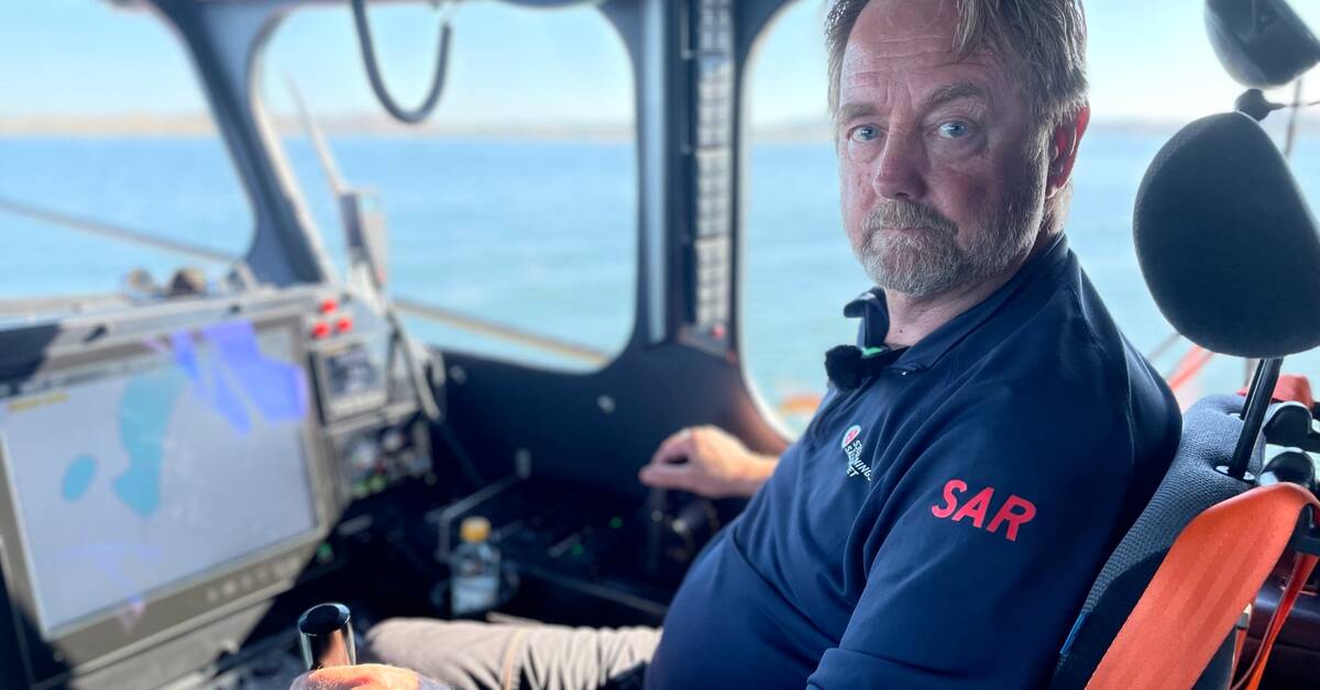
- It is clear that better nautical markings and better charts have made shipping and leisure activities even safer, says Lars Bertrandsson Littke, who works as a volunteer for the Sea Rescue Society RS Rörö.
Measurements from the 19th century
The figure has been reported to the Swedish Transport Agency, which is included in the notes.
- We cannot turn a blind eye to it and we sent a recommendation to the Maritime Administration to make new measurements and a new nautical chart on a larger scale to help leisure traffic, says Mats Hörström, manager at the Maritime and Aviation Department.
How does it look today?
- Some measurement data is based on hand-soldered measurements from the 1800s, which of course will not be good.
Can you also mark out accident-affected grounds with a buoy?
- It is a cost issue, everything must be maintained.
It will be clearer with a better chart.
But we also want it to be easier for private individuals to set up buoys and the like.
There are regulations that prevent it today.
New project underway
Around a quarter of Swedish water is saturated with archaic technology, and it is coastal areas that are most affected, according to the Swedish Maritime Administration.
Therefore, the horizon for when a new chart can be ready for Gothenburg's archipelago is several years in the future.
- It is a large project that we are sketching and seeking funds for, to measure shallow waters around the entire coast of Sweden.
But you can still report deviations with which we can update the charts, says Annika Kindeberg, business area manager for maritime geography.