
As Russia's military invasion of Ukraine continued, researchers at the University of Tokyo created a digital map that analyzes location information such as satellite images showing damage and tells where and what happened.
The map will be published on the Internet, and I hope it will be a clue to know more about the damage that is happening now.
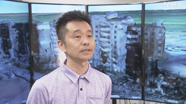
Professor Hidenori Watanave's research team at the University of Tokyo's graduate school collects satellite images and images taken locally by American companies, etc., determines the exact location, and tells where and what happened in Ukraine. I made a digital map.
Many images showing the damage have been released so far, but it is difficult to determine exactly where it is, and the research team has detailed about 180 satellite images collected from the direction of shadows and topographical features. The shooting location is specified and posted on the website.
In addition, the damage is reproduced three-dimensionally with 3D images based on the images taken with the drone, for example, the condominium damaged in Borojanka in the northwest of Kieu, the capital of Ukraine, is from the first floor to the top. I am trying to feel the seriousness of the damage, such as the collapse of the building and the rising of flames from the room.
In addition, the location of Russian military vehicles and fighters is also located on the map, so that the situation of the invasion can be known.
Professor Watanabe said, "By reconsidering it as a line or surface instead of a point, it will be a clue to know more deeply what is happening in real time. I want you to think about it. "
* The URL is "https://cesium.com/ion/stories/viewer/?id=8be6f99c-0d4c-46ce-91a3-313e3cac62fe"