
Forecasters warned residents of Moscow and the Moscow region about sudden changes in the weather, which will be observed until the end of the New Year holidays.
As Tatyana Pozdnyakova, the chief specialist of the Moscow meteorological office, explained in an interview with RT, unstable weather persists because short heat waves change with the same short waves of frosty weather.
“Tomorrow the weather will start to change, the atmospheric pressure will go down
.
The weather pendulum will move to the cyclone, the center of which is today located over the south of Scandinavia.
He will bring us snowfalls.
Tomorrow afternoon the snow can be heavy in places, a blizzard is possible, ”she said.
The air temperature, Pozdnyakova noted, will begin to rise both at night and during the day.
On January 6, residents of Central Russia will be in the warm sector of this cyclone, the temperature for a short time in some places will rise to small positive values.
“And then, when the cyclone moves to the east, portions of cold air will come to us, so these fluctuations will be insignificant,” she said.
On January 5, at night, the temperature in Moscow will drop to -10 ...- 12 ° С, in the region to -15 ° С.
The daytime temperature in the city will be -3 ...- 5 ° С, in the Moscow region up to -8 ° С.
Wind gusts can reach 12-14 m / s.
“It will feel like it’s still very cold outside because the humidity in the air will increase.
It will be quite slippery on the roads.
The warmest day will be January 6, Christmas Eve.
The air temperature in Moscow will be somewhere between -3 ...- 5 ° С, the daytime temperature for a short time in Moscow will be -1 ... + 1 ° С, by the evening the temperature will begin to drop, ”said the forecaster.
On January 7, it is expected to -3 ...- 5 ° С, during the day the air temperature will decrease.
On January 8, no significant precipitation is expected.
The minimum temperature in the region will drop to -9 ...- 14 ° С, the daytime temperature will be -7 ...- 12 ° С.
“Such mild frosty weather with a small snowball will continue with us on the 9th.
At night in the regions -9 ...- 14 ° С and a little warmer in the daytime - -5 ...- 10 ° С, "Pozdnyakova concluded.
The head of the forecast center "Meteo" Alexander Shuvalov also spoke about the upcoming unstable weather to RT.
“Muscovites and residents of the Moscow region need to prepare for very quick, abrupt and sudden changes in the weather, which will be at least until the end of the New Year holidays.
After this cold snap, which captures today and tomorrow, on January 5, we have an "explosive" warming from -11 ...- 13 ° C at night to 0 ° C during the day, ”said the forecaster.
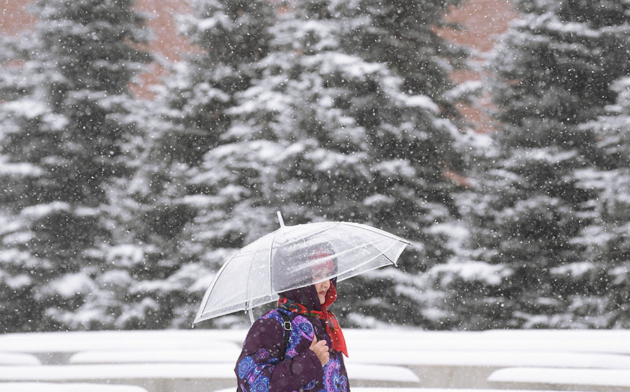
Muscovites, according to him, will face "the whole spectrum of adverse weather events associated with rapid warming" - heavy and wet snow, blizzards, snow drifts, as well as ice on the roads.
RIA News
© Ilya Pitalev
“The second day, January 6, such warm weather will hold out, the intensity of adverse events will decrease, but it will be warm, damp and slushy.
On January 7, 8, we have a cold snap, up to -10 ...- 15 ° С - this is already January 8, "he said.
Leading employee of the Phobos weather center, Yevgeny Tishkovets, warned that on Wednesday, January 5, a "stormy storm" is expected in Moscow.
According to him, the capital is attacked by an active Atlantic cyclone from the west, which will bring with it heavy and wet snowfalls with a total precipitation of about 10 mm, which is 25% of the monthly norm.
“At the same time, gusts of wind will reach stormy values - up to 15-20 m / s, and visibility will decrease to 1 km or less, on wires and tree branches - sticking of wet snow.
The snowdrifts will grow from 26 to 30 cm, ”Tishkovets wrote on his Instagram.
He warned that difficult meteorological conditions will cause snow drifts, rolls and overlaps, as well as ice phenomena, which will significantly worsen the road situation.
“Most likely, it will not do without disruptions in air traffic and power line breaks,” he warned.
At the same time, atmospheric pressure, according to the expert's forecast, "will collapse to the very bottom of the baric abyss" - up to 725 mm Hg, which is 20 units lower than the multiyear norm.
“In general, according to long-term forecasts, January 2022 is expected to be moderately cold with traditional Epiphany frosts and a slight surplus of precipitation.
Preliminary estimates show that “normal winter” will end with January, as the temperature in February will be as much as 3 ° C warmer than average, ”concluded Tishkovets.