
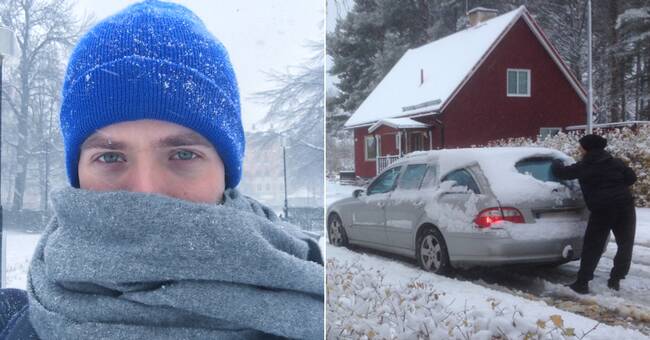
Now the snow is making its entrance in the northern parts of the country and in Västerbotten for the first time this autumn.
According to SVT's meteorologist, a snowfall will pull in on Thursday and then look further up in the country during the weekend.
It mainly affects the mountains and inland in Jämtland, Västerbotten, Västernorrland and Norrbotten.
- There should be enough snow to be able to hug a snowball, says Holmqvist.
The coast can also get snow a week.
- There will be colder air, which means that there will be snow in the mountains and inland.
On Thursday it will probably rain on the coast.
But when it pulls further, it pulls down colder air and then there can be snow even on the coast, he says.
May come class 1 warning
Nils Holmqvist flags that it can be difficult in traffic.
There may be a snow warning later this week from SMHI.
- It can be high time to change to winter tires.
There will be slightly larger amounts, but wet snow.
It can settle down and cause traffic problems, says the meteorologist and continues:
- It is good to follow the situation and see how it develops, if you are dependent on traffic and the car.
If you are brave, you can skip winter tires and leave the car for a day, but inland you have to get used to driving with winter tires Thursday to Sunday.
Can you ski?
- No, not much is coming now.
Where it will snow most is still uncertain.
- The low pressure can take a more southern course so that there is not so much snow in the north, but more in southern Norrland.
It is extremely hopeful and we will soon see any warnings closer to Wednesday lunch, I would guess, says Nils Holmqvist.