
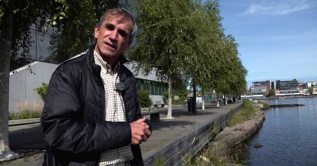
- Jönköping was moved in the 17th century from the heights down near water for defense strategic reasons, so now you are built into this, says Måns Lindell, water ecologist at the County Administrative Board Jönköping.
Within the risk areas designated by MSB, risk analyzes are first carried out and socially important functions that may need to be relocated or protected in order to cope with high flows are identified.
In the second stage, they work preventively with, for example, building dikes, structures that divert water from places that are important to society, or they build dams or wetlands that can store water further up in the system.
- For the more acute third stage, the rescue service makes action plans for how much grass and sandbags to place in the event of floods, says Måns Lindell.
In the clip below, you see three scenarios that could lead to floods in central Jönköping:
Javascript is disabled
Javascript must be turned on to play video
Read more about browser support
The browser is not supported
SVT does not support playback in your browser.
We therefore recommend that you switch to a different browser.
Read more about browser support
In the clip, the water ecologist at the county administrative board, Måns Lindell, explains which three scenarios exist for high flows in central Jönköping.
Photo: MSB risk map