
China News Service, February 7th. According to a report from the US Chinese website, the National Weather Service issued a winter snowstorm warning for parts of New York and New Jersey on the 6th.
Unlike last week's winter storm "Olena", this blizzard is expected to quickly pass through the area.
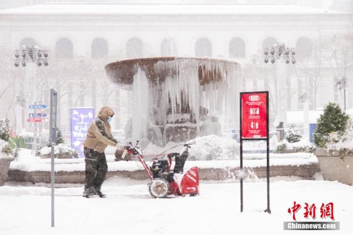
Data map: On February 1, local time, a staff member removed snow in Bryant Park, New York.
Photo by China News Agency reporter Wang Fan
According to reports, the winter storm warning began at 6 am local time on the 7th and will continue until 9 pm.
The blizzard is expected to arrive as early as the morning of the 7th local time, reaching the maximum snowfall in the afternoon, and snow will also be produced at this time.
The amount of snowfall is expected to be approximately 10 to 20 cm, and possibly as much as 25 cm.
If the temperature is higher than expected, it will turn into sleet weather and the amount of snow may decrease.
It is expected that there will be less snowfall in northern New York City, and by the evening of the 7th, the snowfall should be over.
The weather is expected to be dry and sunny on the 8th, but the temperature will be very low. The highest temperature is expected to be minus 6 degrees. Another snowstorm may usher on the 9th.
Other parts of the United States may also experience widespread snowfall.
The National Weather Service said on the 6th: "On the 7th, the possibility of snowfall in southern New England, Washington, D.C., and Baltimore is very likely, and it will soon end that night."
According to forecasts, 30 centimeters of snow may be seen in parts of southern New England.