
China News Service, Beijing, January 7 (Reporter Du Yan) Since January 6, there have been large-scale strong winds and strong cooling in the central and eastern regions of China.
The lowest temperatures of 20 national weather stations in Beijing were all below -18°C. The lowest temperatures of 10 stations fell below the historical extreme values in the same period in early January, and 6 of them fell below the historical extreme values since the establishment of the station.
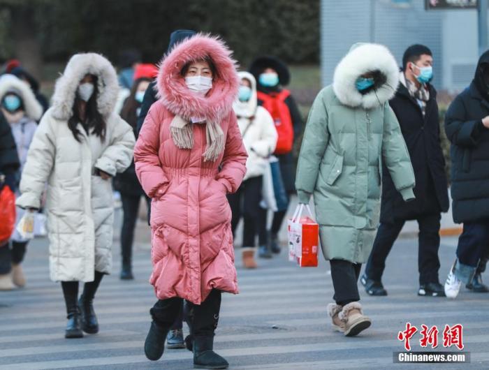
The picture shows citizens traveling on the streets.
Photo by China News Agency reporter Jia Tianyong
This was introduced by Liang Feng, deputy director and spokesperson of the Beijing Meteorological Bureau, at a press conference held on the 7th.
She said that since the beginning of winter (December 1, 2020 to January 6, 2021), the average temperature in Beijing has been -5.2°C, which is 2.0°C lower than the normal temperature in the same period (-3.2°C).
Affected by the strong cold air, large-scale strong winds and strong cooling began to appear in the central and eastern parts of China on January 6.
She pointed out that the cold air brought the lowest temperature at many stations in Beijing below the historical extreme.
The lowest temperatures of 20 national meteorological stations in Beijing are below -18℃, and the lowest temperatures of 10 stations have fallen below the historical extreme values in the same period in early January, including 6 in Shijingshan, Tongzhou, Shunyi, Changping, Xiayunling and Shangdianzi The station fell below the historical extreme value since the establishment of the station, and Huairou Station equaled the historical extreme value since the establishment of the station; the lowest temperature in the southern suburbs observatory of the representative station in Beijing was -19.6℃ (appearing at 05:56 on January 7), the lowest since February 1966 Value (minimum temperature on February 22, 1966-27.4℃).
At the same time, the wind chill effect is obvious.
From day to night on January 6, northerly winds of about magnitude 5 and gusts of magnitude 8 to 9 occurred in most areas of Beijing.
Speaking of the most direct cause of the recent low temperature in a wide range, Liang Feng analyzed that since December 2020, the Siberian high and the strong East Asian winter monsoon have caused the strong cold air brought by the strong northwest wind to frequently invade Beijing and North China. The extreme low temperature weather process that occurred this time is the result of the continuous low temperature caused by the cold wave weather process from December 28 to 30, 2020. At the same time, the windy weather makes the wind-cold superimposition effect obvious.
"This round of cold air process is not over yet." She said that on the night of January 7, the lowest temperature in Beijing is expected to be around -14°C.
The highest temperature during the day on January 8 was around -3°C, and there was a level 4 northerly wind.
It is expected that the maximum temperature during the day will rise above 0℃, around 1 to 2℃ starting from January 9.
There is no stronger cold air before January 16.
Liang Feng reminded the public that in the next ten days, the weather in Beijing will be cold, and they should pay attention to cold and warm.
(Finish)