
Chinanews, August 3rd. Recently, floods and earthquakes have occurred in many places in southern my country, and the flood control situation is relatively severe. What practical applications of Beidou navigation in the near-term flood control and disaster relief? In this regard, Ran Chengqi, director of the China Satellite Navigation System Management Office and spokesperson for the Beidou satellite navigation system, introduced that the short message service of the Beidou system can transmit images and voice, and high-precision applications can monitor real-time deformation, including railways and slopes with debris Wherever possible, early warning and transfer of personnel can be made to gain time for rescue.
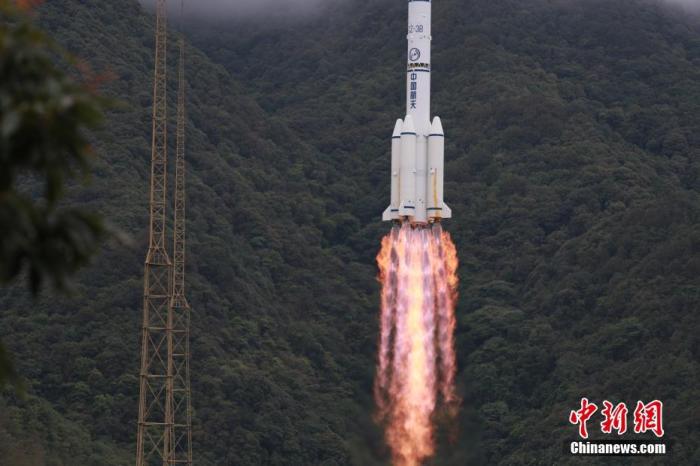
The picture shows that at 9:43 on June 23, Beijing time, China launched the last networked satellite of the Beidou-3 global satellite navigation system with the Long March-3B rocket at the Xichang Satellite Launch Center. Photo by Hu Xujie
The State Council Information Office held a press conference on August 3. Ran Chengqi, director of the China Satellite Navigation System Management Office and spokesperson for the Beidou satellite navigation system, introduced the completion and opening of the Beidou-3 global satellite navigation system and answered reporters’ questions.
Ran Chengqi said that this year is a year of severe floods in China, and China is also a country with more natural disasters. In terms of natural disaster mitigation and disaster prevention, satellite navigation, especially the Beidou system, has a particularly important supporting role. The Beidou system is particularly different from other satellite navigation systems. One of the two characteristic services is the short message service. The short message service is to send short messages without the support of any ground mobile communication network. The Beidou 3 has a big Upgrading to 14000 bits (1000 Chinese characters) in a single time, which can transmit images and voice. The Beidou system has a global inter-satellite link. It is precisely because of the inter-satellite link function that it expands the realization of global short messages. An individual can rely on Beidou to provide the means of communication without mobile communication anywhere in the world.
Another important feature service is high-precision applications. The Beidou system relies on the satellite system in the sky, and has built a high-precision enhanced network on the ground. There are nearly 3,000 ground stations in China. The highest accuracy can be processed to the centimeter level in real time, and the post-processing can reach the millimeter level of high precision. Deformation monitoring and debris flow changes are in millimeter-level motion. If you rely on this system with corresponding auxiliary equipment, you can real-time deformation monitoring, including railways, slopes with debris flow, and early warning and transfer Personnel, gain time for rescue.
For example, Ran Chengqi said that a Beidou monitoring system was installed in Shimen County, Hunan this year. A mudslide and landslide occurred in a town. More than 60 people were transferred in advance and ensured the safety of people's lives and property.
Ran Chengqi said that Beidou has played an important role during the floods in the south this year. Ran Chengqi called on all provinces and cities to pay attention to the new applications of Beidou. High precision must be an invincible card for Beidou in the future. "High-precision into the mobile phone can be expected in the future. If you use a mobile phone with a high-precision application, you can achieve lane-level navigation when driving. If you call a taxi, you can let the taxi drive under your feet with your eyes closed."