- Weather Check the weather forecast
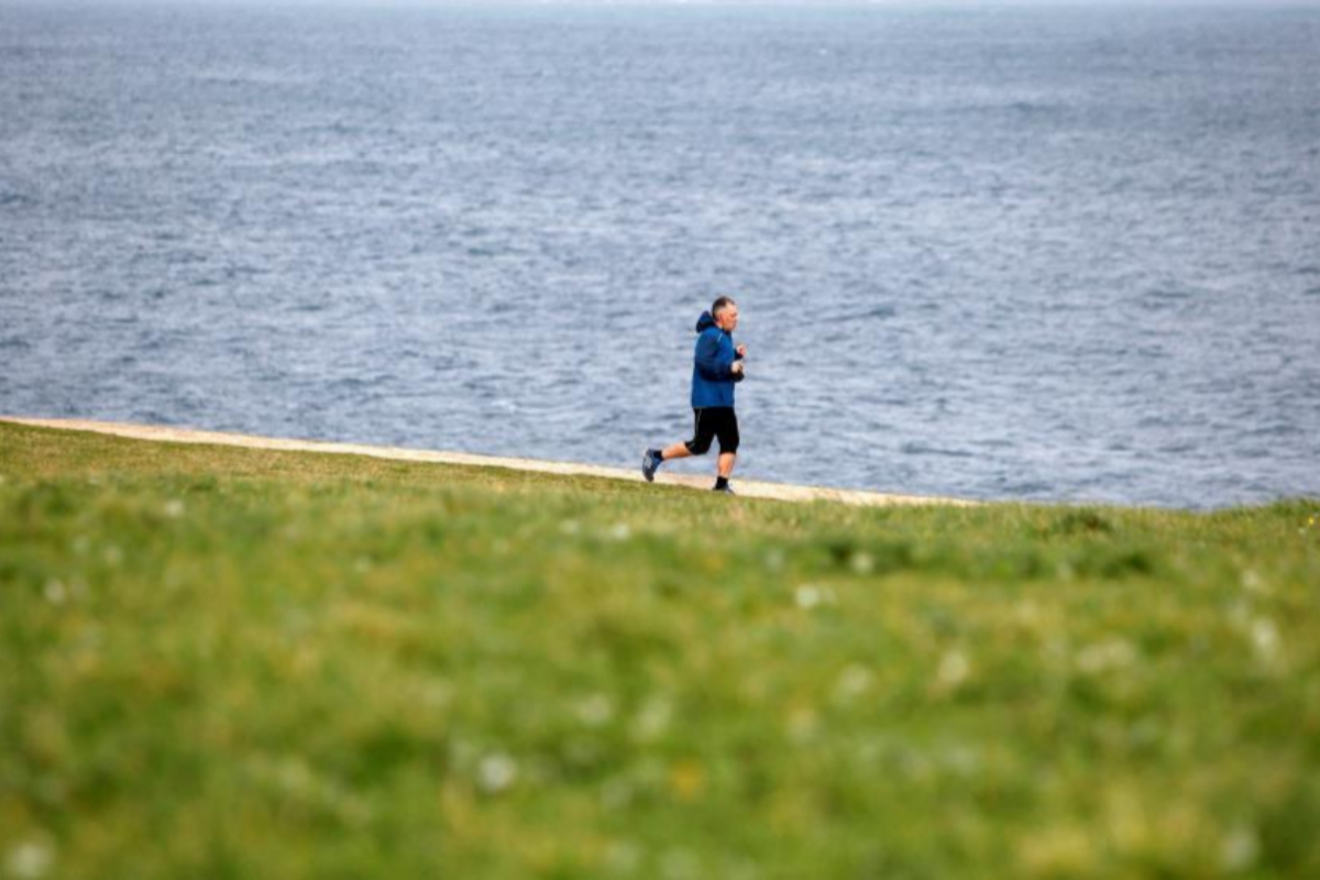
The early spring weather of these days, with higher temperatures than normal and sunny skies, will give way from this Saturday to next Tuesday to a more winter environment due to the arrival of several fronts , the first one associated with the stormy Jorge .
In those days there will be a collapse of temperatures and a storm of rain, wind and bad sea that will affect many areas of the peninsula and the Balearic Islands
"Winter is back , " said one of the spokesmen of the State Meteorological Agency (Aemet), Fernando García , who stressed that this will occur because "the anticyclone will weaken and give way to the fronts."
The cold will be noticed because temperatures will go down from this Saturday until next Monday, with 10 degrees less in Bilbao , Cuenca , Salamanca , Teruel , Vitoria and Zamora ; nine in León , and eight in Ávila , Burgos , Guadalajara , Ourense , Oviedo , Palencia , Segovia and Soria . In addition, it will freeze at night in mountainous areas and surroundings, where it could also snow. "The snow level will range between 1,000 and 1,400 meters, depending on the day," Garcia said.
Borrasca Jorge
That time change will begin this Saturday, the last day of February in this leap year, since the stormy Jorge will inject strong or very strong wind gusts in much of the peninsular northwest, as well as the north and areas of the North Plateau, the Iberian system and points southeast of the peninsula.
Garcia said that the cold front associated with Jorge will be located this Saturday in western Ireland and "will sweep the peninsular northwest" from this midnight, when, he added, "it is planned to be touching the Galician coast . "
This front will produce very strong rains and wind gusts in the peninsular northwest . The Aemet has activated the orange warning (significant risk) in areas of Galicia and Cantabria due to very strong gusts of wind of at least 100 km / h, as well as the coast of A Coruña, Lugo and Asturias due to poor sea conditions, with waves that could reach six meters during the morning.
In addition, the front linked to Jorge will be accompanied by rain throughout the peninsula except the Mediterranean provinces , although they will be weak in most areas. There will be abundant rainfall in Galicia and the Cantabrian communities.
There will also be a decrease in temperatures throughout the peninsula except in the Mediterranean area, where they will go up. The thermal collapse will be notable in areas of both plateaus and the Iberian System.
In fact, the thermometers will go from marking this Friday about 20 degrees or more in much of the southern half of the peninsula, the Ebro valley, areas of the Cantabrian and both archipelagos, to do so on Saturday only in the Mediterranean, the Guadalquivir valley and other western areas of Andalusia, as well as in the Canary Islands and the Balearic Islands.
Beginning of March
Later Atlantic front systems, more active, with greater humidity and associated with new pressure centers, will welcome March with heavy rainfall and winds in much of the peninsula and the Balearic Islands between Sunday and next Tuesday.
Rainfall will affect a large part of the peninsular areas on Sunday, although it will be very unlikely in the south and the Mediterranean area . On the contrary, the most intense rains will correspond to the west and southwest of Galicia. The snow level will be around 1,200 meters.
The wind gusts of the west will be less strong than Saturday, but they will affect more areas: the whole peninsular north-western quadrant, the western Pyrenees and the Iberian System. The height of the waves will be between five and six meters on the coasts of Galicia and the Cantabrian.
Garcia stressed that the most adverse day is next Monday, when a new storm will deepen in the vicinity of the peninsula and the Balearic Islands , and will generally lead to rainfall, very strong gusts of wind and poor state of the sea.
In principle, the greatest amount of precipitation that day will fall in the northern half and center of the peninsula, with a snowfall that will be around 1,000 meters . Very strong gusts of wind will affect the entire peninsula and the Balearic Islands, with intervals that probably reach 110 km / h in high areas.
This rainy storm, sea wind will probably end next Tuesday, when the storm of Monday moves towards Italy. However, this day there will still be rainfall in the northern peninsular and very strong wind gusts, as well as poor sea conditions in the Mediterranean area.
According to the criteria of The Trust Project
Know more- Spain
Navarra: The aggressor of two agents of the Civil Guard in Alsasua
Dissidence Cuban opponent Guillermo Fariñas is released after 60 hours of arrest but prevented from traveling to Europe
Communication When the artist is the detective who hunts art thieves

