
The climate professor at the Department of Geography at the Qassim University, Saudi Arabia, Abdullah Al-Misnad, published a temperature map at 6 am for days, Thursday, Friday and Saturday.
Al-Misnad said in a tweet via his Twitter account yesterday evening: Notice the map of the zero-centimeter position, while the frost phenomenon is expected to hit most of the north and parts of central and north central, for a few days starting today.
Earlier, meteorologist Ali Mashhour expected a state of instability affecting the kingdom’s regions, starting from Tuesday
And the Saudi Al-Muwattan website reported that Mashawu said that the situation will continue until near the end of the current month of January, and this situation will result in a decrease in temperature and frost formation, snowfall, and rain, as the cold wave will begin to affect the north of the Kingdom from the day yesterday.
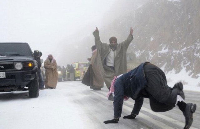
With regard to snowfall, it is expected that during this case the northern regions of the Kingdom will be affected by ice waves, the first snow waves will start lightly, especially on Tarif, Qurayyat, Hazm Al-Jalamid, and the highlands of Tabuk, the Almond Mountains, Hangan and Zuhr, and there is another snow wave expected to be stronger and broader on Friday and Saturday, January 24-25.