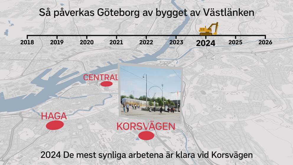
As a large U, the West Link will hike under Gothenburg. On the Swedish Transport Administration's new map you can follow exactly how it will go. Both as the main tunnel but also the small intestines that are blasted to reach the main tunnel.
- The map is accurate, you can zoom in and see exactly how it will go, says Camilla Hult.
Accommodation is informedAt the Swedish Transport Administration, they mean that everyone who has a house that is right next to the tunnel should have been informed about their position and what will happen in their area. But there are many who are interested in the progress of the West Link.
- We have noticed a great deal of interest in everything concerning the West Link, says Camilla Hult.
Follow day by daySmall parts of the map are pink. These are the parts of the tunnel that have already exploded in the mountains. A development that the curious can follow day by day. Eventually, all work on the tunnel should be highlighted on the map so that the work can be monitored in real time.
- We hope the complete map is ready soon, says Camilla Hult.
Here you will find the Swedish Transport Administration's map.

