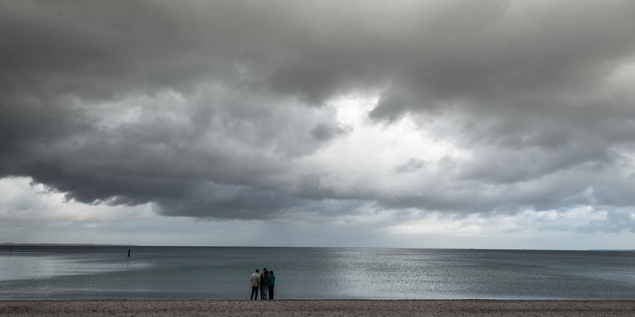
The weather will still be bustling north on Tuesday as the sun returns to the south of the country, according to Météo-France forecasts. From the Massif Central to the eastern borders, the sky will remain rather cloudy in the morning with rare residual showers, but the clearings will become wider at the end of the morning.
From Brittany to the Hauts de France and Champagne-Ardenne, passing through the Île-de-France and Normandy, the clouds, often numerous, alternate with shy thinnings. They will be accompanied by a large part of the day of showers and sometimes a few thunderclaps.
Rare showers on the Alps and Pyrenees
On the rest of the country, the sky will be variable. It will be temporarily more cloudy at the foot of the Pyrenees in the morning, then the clearings will win the game, giving a pretty sunny afternoon in the south of the country, despite the passage of a cloudy veil. A few showers may still form on the Alps and the Pyrenees in the afternoon.
In the evening, the sky will be busy again by Brittany, announcing the arrival of a new disturbance by the North-West.
Up to 31 degrees on the Mediterranean rim
The mistral and the tramontane will blow in peak at 70 km / h. A west wind will set up in Corsica with gusts at 70 km / h.
The minimum temperatures will remain cool for the season, varying from 7 to 14 degrees in the interior and 11 to 16 degrees near the coast. It will be 17 to 21 degrees near the Big Blue. The maximums will globally be 18 to 24 degrees, 25 to 31 on the Mediterranean rim.

