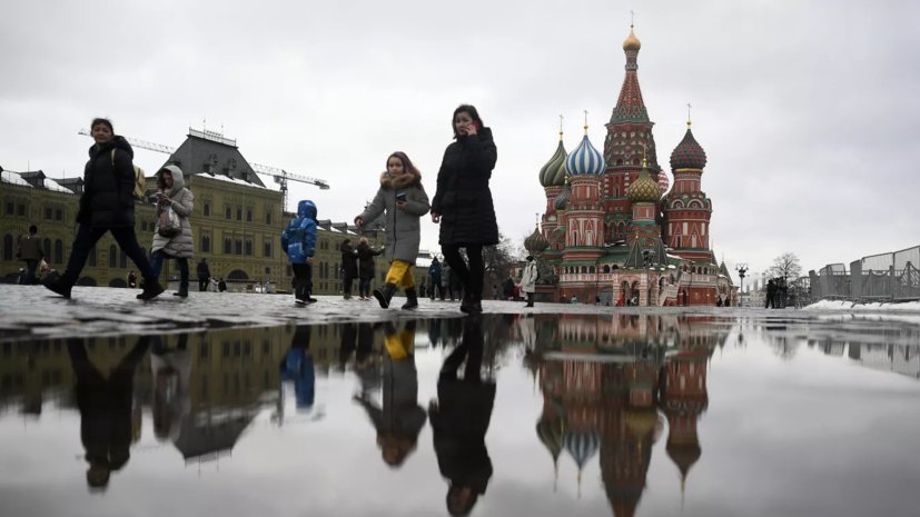
The specialist noted that on Monday Moscow will be under the influence of a well-defined anticyclone.
"Therefore, the weather will be cloudy, but with clarity and the sun will often peek out ... On Monday night, the sky will still be starry and cloudy, so the temperatures will be quite low -5 ... -7 ° C. But in the afternoon the low-pressure hollow will gradually approach Moscow and the temperature will be + 5 ... + 7 ° C. Generally speaking, this is already a spring sign, since from monday afternoon there is a fairly uniform weather with high temperatures. On Tuesday night, very small negative values of -1 ... -3 ° C, and in the afternoon the temperature background will rise to + 6 ... + 8 ° C, in some places even +9 ° C. The same weather is on Wednesday, "said Vilfand.
He noted that from Thursday "real warm weather" will begin.
"From Thursday, night temperatures are positive +1 ... + 6 ° C, and during the day the temperature will rise to double-digit positive values. On Thursday it is predicted +6 ... + 11 ° C, on Friday + 5 ... + 10 ° C, and on Saturday again + 6 ... + 11 ° C. This is already a stable spring process, although it will be associated with low pressure. By Friday and the weekend, 730-735 mmHg is predicted. Now we can talk about the transition through zero degrees. It is important to emphasize that a steady transition through zero degrees does not mean that the temperature will be positive all the time. A return to the cold is possible, but short-lived," the forecaster concluded.
Earlier it became known that in Moscow and the region extended the "yellow" level of weather danger due to black ice on the roads until March 18.

