
In Moscow and the region, the temperature background will change by the end of the week.
Tatiana Pozdnyakova, chief specialist of the Moscow meteorological office, said this in an interview with RT.
“We are now in the warm sector of a large cyclone, a multi-center cyclone, which is why we have such a high temperature.
Today we expect that in Moscow it will be about +1 ... + 3 ° С.
The temperature will gradually decrease on the following days.
On January 26, during the day in Moscow, only 0 ... + 2 ° С.
On January 27, the temperature in the city will be about 0 ° C, ”Pozdnyakova said.
According to her, more significant changes will occur on Thursday, January 28, when the temperature will be confidently negative.
“As for precipitation, the next cyclone will approach us, it will bring precipitation in the snow phase on January 27, it can be sleet and snow, on January 28 it will surely snow ... And in the following days the frost will intensify.
By January 30 in Moscow at night hours -10 ...- 5 ° C.
And the daytime temperature is -7 ...- 2 ° C.
That is, this period of extremely warm weather with an air temperature anomaly of about 10 ° C will be over by the end of the month, ”she concluded.
Meanwhile, on Monday, January 25, the air at the main Moscow weather station (VDNKh) warmed up to +3.8 ° C by 08:00, which became a record for this day.
As noted in the Moscow Meteorological Bureau, this air temperature is 11-12 ° C higher than the climatic norm.
The previous record value for January 25 was recorded in 2002 (+3.6 ° C).
“The sky is now clearing up, and the air temperature can change upwards.
The maximum figure will be announced later.
But today the highest temperature was registered for January 25 in the last 140 years of instrumental observations in Moscow, ”Pozdnyakova stressed.
According to the forecast of the Hydrometeorological Center of Russia, on weekends the thermometers in Moscow will drop to -7 ° С, at night to -10 ° С.
Snowfall is also expected.
AGN "Moscow"
© Sergey Vedyashkin
"Temperature confrontation will be until the end of the month"
Anatoly Tsygankov, Deputy Head of the Situation Center of the Hydrometeorological Center of Russia, noted that cyclones from the Atlantic brought very warm air to the territory of the European part of Russia.
“From January 25 to January 30, this positive anomaly remains, the only thing is that it will decrease slightly.
In Komi, the temperature is 16 ° C above normal, in Nizhny Novgorod, Kazan - by 12 ° C, in Rostov-on-Don, Saratov - by 8 ° C, in the Caucasus - by 4 ° C, that is, such an anomaly throughout the territory the European part of Russia, "he said in an interview with RT.
According to him, the opposite situation is observed behind the Urals, in Siberia - the anticyclone has pumped very cold air from the Arctic into this region.
“Most of Siberia, from Omsk and beyond - Omsk, Khanty-Mansiysk, Norilsk, Yakutsk, Tiksi, Oymyakon - it's cold there and the anomaly is negative.
It is cold in the center of the North Asian part, and warm in the European part, and this confrontation will be until the end of the month, ”Tsygankov stressed.
In addition, the scientific director of the Hydrometeorological Center, Roman Vilfand, reported on anomalies that will be observed in the Russian Federation this week.
According to him, daytime temperatures in almost the entire territory of the European part of Russia will exceed the norm by 10-14 ° C, only in the Nenets Autonomous Okrug there is anomalous cold.
“The weather is more than two months ahead of climatic development,” RIA Novosti quotes him.
At the same time, abnormal cold weather awaits the regions of Siberia.
“To the east of the European territory, the border of the abnormally cold weather zone runs along the Urals.
With a cold anomaly of 12 ° C.
This applies to Central Siberia, the north of Western Siberia, the temperate regions of Western Siberia and the southern regions of Western Siberia.
Again, after a slight warming, frosts returned - 40 degrees and below - in the Novosibirsk, Tomsk regions, ”Vilfand explained.
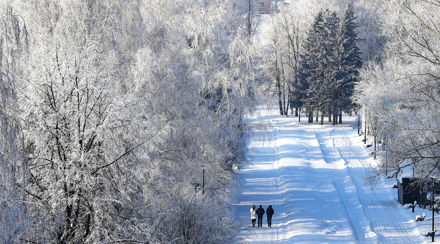
Novosibirsk
RIA News
© Alexander Kryazhev
We add that in Novosibirsk, a regime of unfavorable meteorological conditions (NMU) was introduced for a day, since pollutants can accumulate in the air
“In the period from 11:00 on January 25 to 16:00 on January 26, 2021, unfavorable meteorological conditions are expected for the dispersion of harmful impurities in the atmospheric air (NMU) of the first degree of danger," the regional Ministry of Natural Resources said.