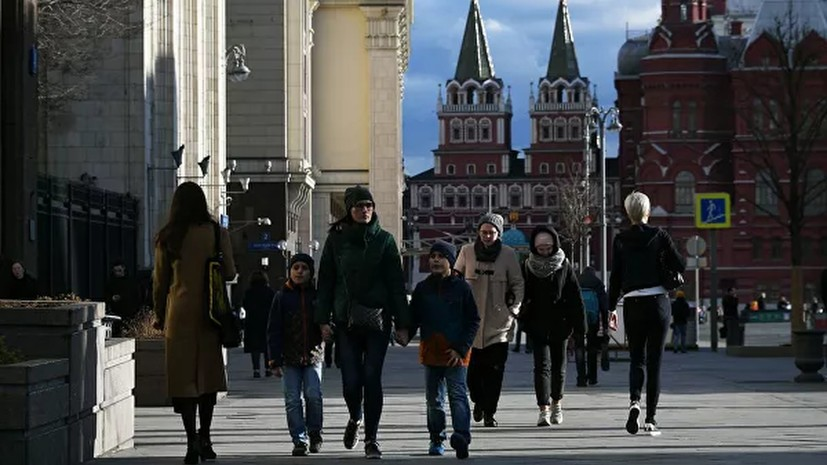
“After yesterday’s +5 ° C, the air temperature drops to -1 ° C next week on Thursday and Friday during the daytime. This can be considered a cold snap. But the temperature will be very far from the climatic norm of the last days of January. Today, the average daily temperature in Moscow is about +2 ° C and it should be like that in the first 5 days of April, ”he said.
According to the weather forecaster, a new wave of Atlantic heat awaits the capital at the beginning of next week.
“On Sunday, the capital will remain under the influence of an anticyclone. It will be cloudy with clearings and no precipitation. On Monday, the approaching cyclone will close the sky with dense clouds, light precipitation will pass, the air temperature during the day will be + 1 ... + 3 ° C. Tuesday will be the warmest day this week, it will be cloudy, light precipitation mainly in the form of rain, gusty westerly wind. On Wednesday, a cold atmospheric front will pass through the territory of the capital region. It will be cloudy with clearings and some precipitation. On Thursday and Friday, the anticyclone will prevail in the weather, in some places light snow is possible, ”Leus said.
The weather forecaster noted that the cooling will be short-term and the thaw will again come to the capital on weekends.
Earlier, the Russian Hydrometeorological Center warned of an expected drop in temperature in the central and northwestern regions of the country by the end of next week.

