
After a slight cooling, warmth returned to Moscow; temperature indicators continue to exceed the climatic norm. On December 13, the thermometer columns in the capital during the day rose to +1 ... + 3 ° C, according to the site of the Hydrometeorological Center. The southeast wind will help maintain a temperature of about 0 ° C. On Saturday night, December 14, weather forecasters forecast -1 ... + 1 ° С.
Earlier, the Hydrometeorological Center noted that abnormally warm weather was observed throughout Russia, in some regions the temperature exceeded the average climatic norm by 16 degrees. It is expected that the cyclone will further advance to the southeast of the country, spreading heat uncharacteristic for December to the northern and central regions of the Krasnoyarsk Territory and further towards Baikal.
Acting head of the Hydrometeorological Center Roman Vilfand, in an interview with Rossiyskaya Gazeta, said that the cold would come this winter. Several periods with temperatures below -25 ° C are expected. According to him, in general, “winter is expected to be cold,” because the temperature in most of Russia will be near and above normal, as well as “heterogeneous”.
"The waves of cold"
The head of the Roshydromet situational center, Yuri Varakin, in an interview with RT, explained that the first wave of cold should be expected in the Primorsky Federal District starting on December 19. Toward the end of next week, the temperature in this region will fall by 10-15 degrees. A similar situation will be observed in the Nizhny Novgorod region, the Republic of Mari El, Chuvashia, Tatarstan and further on the middle Volga, in Samara.
It will get even colder in the Urals. According to the weather forecaster, in Yekaterinburg and Chelyabinsk, from the end of next week a temperature drop is expected to reach -25 ...- 27 ° С.
But this cooling will not reach Moscow, Varakin specified. Strong temperature changes in the capital should not be expected until December 19.
“The wave of cold has not yet affected Moscow or St. Petersburg. Although in St. Petersburg, cooling is possible in the third decade. If you take Krasnodar, Stavropol - here are positive temperatures. There is always December within +8 ... + 12 ° С, which we will observe until the end of the decade, ”the weather forecaster explained.
"Changing of the climate"
Marina Makarova, chief specialist of the Hydrometeorological Center of Russia, told RT what caused the increased temperature indicators in Russia this winter.
“Each specific weather event hardly makes sense to connect with global warming. Now the term “climate change” is generally used - it is a more correct term. The rise in global temperature has slowed down a bit, ”said the weather forecaster.
She also recalled that warm December was observed in Moscow in 2017, when approximately the same indicators were recorded in November and December. The average temperature then was about 0 ° C.
“I think that we probably have not yet reached the values of such a warm December, which was two years ago,” added Makarova.
According to the expert, in the coming days the metropolitan area will be influenced by the anticyclone. But closer to Sunday, December 15, the pressure will begin to fall again. It may get wet snow.
- RIA News
- © Ramil Sitdikov
“This is at the beginning of the week, on Monday (December 9th - RT ), our excess was about 8 degrees above the climatic norm, and then it decreased in the second half of the week, and amounted to 2-3 degrees. During the day, it’s about zero, and at night a slight minus, ”the weather forecaster emphasized.
“So far, everything is ghostly”
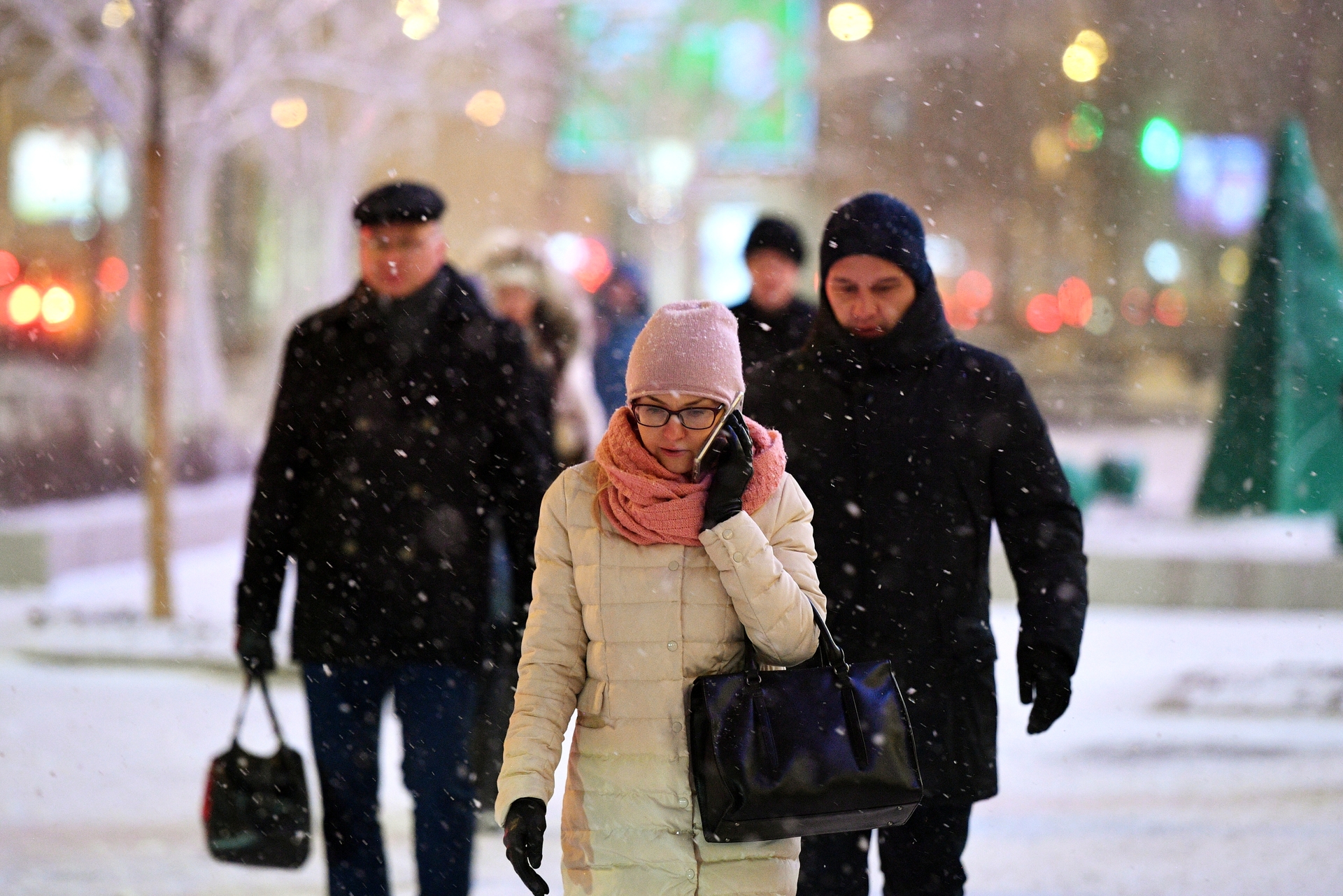
The weather report of the Phobos Center reports that in the middle of the week a cold atmospheric front broke into Moscow and the region, so drizzle in places began to turn into wet snow.
The center’s leading specialist, Yevgeny Tishkovets, told RT that the anticyclone “will manage weather conditions until Saturday (December 14th - RT ) inclusive.”
According to him, towards the evening of Sunday, another cyclone from the West will approach the capital.
“The cold will begin to gradually recede, after which the temperature will again approach near zero levels, and then return to the thaw indicators. Therefore, to expect that the snow cover will fall, winter will come to us - no, until everything is ghostly, ”said the leading specialist of the Phobos weather center.
With the arrival of another warming, one should expect the return of precipitation, fog and slush. Possible reduced visibility.
According to Tishkovets, a new heat wave may linger for more than a week. So the arrival of winter remains in question.
“This west-east transfer will keep the weather very warm for December until at least the 20th of December. So far there are no signs that nature will begin to rebuild and gain winter features, ”he concluded.