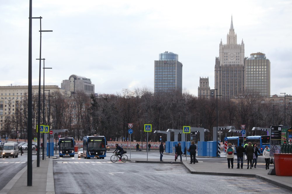
Steady low temperatures in Moscow and the Moscow region will at best be established by the end of November. This was announced by a leading specialist of the weather center "Phobos" Evgeny Tishkovets. According to him, “according to climatic laws” on Sunday, November 10, “meteorological winter” was supposed to begin in Moscow, when the average daily air temperature drops below 0 ° С.
“Climatic winter in Moscow always occurs on the same day - November 10th. It is clear that, according to forecasts, this will not happen. The onset of winter is postponed for about 10 days. All due to the fact that a portion of the Black Sea heat will break through to us today, ”Tishkovec said in an interview with RT.
According to Phobos estimates, a sharp drop in temperature will occur in the last ten days of November, when the Arctic frosts will hit.
“At night, -15 ...- 20 ° C at night and during the day about -10 ° C,” Tishkovets explained.
He also emphasized that the current temperature values exceed the climatic norm of November by 9-10 ° С.
“The reason for this is the confrontation between a cyclone of Atlantic origin in the northwest and its constant adversary - an anticyclone in the southeast. Their confrontation provided the southern stream, which brings abnormal heat to us. The temperature in Moscow today will rise sharply to +9 ... + 11 ° С, in the Moscow Region +7 ... + 12 ° С. Precipitation is possible in the morning. The air will be moist, saturated with moisture, ”added Tiskovec.
As noted on the website of the Hydrometeorological Center of Russia, as of 10:00 the air temperature at the base weather station at VDNH warmed up to a little more than +6 ° C. At the same time, last year, the thermometer at that moment in time showed +1.6 ° С.
A leading specialist at the Phobos Center also talked about what weather to expect for residents of the Moscow region in the week of November 11-16.
“On Monday and Tuesday we will be in the zone of cyclonic activity. It will be cloudy and light rain. From Wednesday to the weekend inclusive of variable cloud cover and without precipitation, daily temperature fluctuations will increase, ”the weather forecaster concluded.
The head of the Roshydromet situational center, Yuri Varakin, in an interview with RT, also drew attention to the fact that the Atlantic air affects the temperature background in the Moscow region.
“There is no way to talk about winter. For the next 7-8 days, at least until November 18, the temperature will slightly exceed the climatic norm. Slight frosts are possible on November 13-14. By the middle of the month, in the third decade of November, temperatures will be slightly negative, ”he explained.
- AGN "Moscow"
Earlier on the Meteonews website, it was reported that "the coming winter in Central Russia will be perhaps the warmest in the history of meteorological observations." For her, they even suggested using the term “cherry” winter.
Weather in the regions of Russia
Meanwhile, according to weather forecasters, in the north-eastern part of Russia, winter has already been marked by severe frosts. According to the Meteovesti portal, on November 8, the minimum air temperature of -40.1 ° С was recorded in the Yakut village of Shelagontsi - this is the first such case in the winter season of 2019/2020.
“However, even for November Yakutia this is a lot - such an air temperature is 8 ... 10 ° C below the climatic norm! It should be noted that there is no warmer there during the day: -23 ...- 28 ° С. In the coming days, with the advent of the cyclone, the frosts will recede, and the air temperature in the region will return to the framework of the climate, to the values that are more familiar to northerners, ”the report said.
Along with this, frosts of up to -25 ° С were also established in the north of Eastern Siberia, while in the north of Turukhansky district the thermometer columns dropped to -32 ° С. On Monday, November 11, the regions of Cisbaikalia and Transbaikalia will be in the grip of cold air.
“On Tuesday, they will be joined by the Amur Region and the southwestern regions of Yakutia. But the Urals and the southern regions of Western Siberia will return warmly by the middle of the week. The average temperature is expected to be 2-4 ° C higher than normal, ”the Meteonews website says.
At the same time, in the south of Russia, on the Crimean peninsula, drought settled, the main rivers of Crimea dried up. The reason for the incident was both the abnormally warm weather and the lack of rainfall in the mountains.

