
According to the China Weather Network, today and tomorrow (August 15-16), due to the combined effects of the warm and humid surrounding subtropical high pressure and weak cold air, Beijing has frequent thunderstorms and uneven rainfall distribution. When the public goes out, remember to bring rain gear and pay attention to traffic safety.
Yesterday, the weather in Beijing was fine, with strong ultraviolet rays and feeling hot. Monitoring showed that as of 15:35, the highest temperature in the Southern Suburb Observatory was 34.5℃.
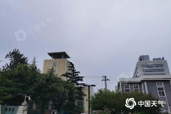
This morning, the sky in Beijing was gloomy.
According to the latest forecast issued by the Beijing Meteorological Observatory at 6 o'clock this morning, there will be scattered showers (with weak thunder and lightning) from the morning to the day, the north will turn to south wind at level 2 or 3, and the maximum temperature will be 30℃; the night will turn cloudy and the south will turn north. The wind is level one or two, the lowest temperature is 22℃.
Tomorrow will be cloudy to overcast during the day, with thunderstorms in most areas, north to south breeze level 2 or 3, maximum temperature 29 ℃; overcast at night with thunderstorms, south to north breeze level 1 or 2, minimum temperature 22 ℃.
Meteorological experts reminded that the recent frequent rainfall in Beijing, the public should try to avoid going to mountainous areas, rivers and other geologically fragile areas, and beware of geological disasters. At the same time, the road is wet and slippery on rainy days, so vehicles must pay attention to traffic safety.