
From New Aquitaine to the Loire Valley Center, the sun will be veiled, according to Météo-France forecasts. Note on the Basque Country and the Landes to the Hautes-Pyrenees, the presence Monday late in the night and early Tuesday morning of low clouds temporarily obscuring the sky then this greyness will escape in favor of a veiled sky.
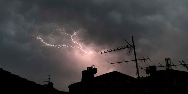
Thunderstorms on Île-de-France
On the coast of Languedoc-Roussillon, as well as on the east coast of the island of beauty, a cloud of clouds linked to maritime entrances will find it difficult to dissipate. In PACA, on the southern Alps and the rest of Corsica, the sky will be slightly cloudy. In Occitania, the formation of cumulus clouds may trigger a few light rain showers.
In the north-west, showers may occur and will be locally moderate and accompanied by a storm, especially on the Ile de France, or even the Orne. The weather will be drier along the Channel coast and in Brittany. In the afternoon, from Burgundy to the East, the sky will be threatening, with some showers. In Auvergne, and as far as the limit of the Limousin, going down towards Aveyron and Lozère, time will turn quickly to the storm. Instability will gradually affect the Rhône Valley, the Alps and the Jura, then in the evening, Franche-Comté and Alsace. Storms will be expected, locally strong with gusts of wind and possibility of hail alone.
The temperatures
The minimum temperatures will be between 14 and 18 degrees, locally up to 20 in Occitania, 21 in the Rhone and 23 on Nice. The maximum will not exceed 25 degrees in the North-West, with 20 degrees on Quimper and 24 to 25 on the Ile de France and the Center Val de Loire region. Elsewhere, the thermometer will vary from 28 to 32 degrees, up to 34 in the Var, Tarn and Vaucluse.