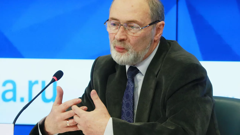
“Even before the New Year, the Hydrometeorological Center described the weather situation in the European territory of Russia as the opposition of two pressure systems: an anticyclone from the east and a cyclone from the west.
In the early days of the New Year, cyclonic activity prevailed, it was along the eastern periphery of the cyclone that warm, moisture-saturated air masses moved, so it was warm, thaw weather ... Gradually, the situation begins to change, and the anticyclone is no longer of southeastern origin, as it was before, he is of northern origin, ”said the expert.
The forecaster noted that it is this anticyclone that causes incredibly cold weather (12-15 ° C below normal) in western Siberia and in the Krasnoyarsk Territory.
“It is the spur of this anticyclone that will gradually begin to spread to the European territory of Russia, that is, the high-pressure ridge will cross the Urals, and it will already determine the weather conditions in the center of European Russia.
Starting from Monday, the situation gradually begins to change.
Already both during the day and at night the temperatures will still be negative: -5 to -1 ° С during tomorrow.
In the west of the region, + 1 ° С is still possible.
It's already warm, but winter weather will be next week.
Night temperatures on Tuesday: -5 ...- 3 ° С, daytime: -3 ...- 2 ° С, this mild winter option, of course, the temperature is higher than normal, but significantly lower than the temperature background, which was 1 , January 2 and so on, "said the interlocutor of RT.
According to him, night temperatures on Wednesday, Thursday and Friday will be -5 ...- 10 ° С, and daytime temperatures: -6 ...- 5 ° С.
“And such a temperature background will also be higher than the norm by 2-3 ° C, but nevertheless this is already normal winter weather ... We do not predict severe Christmas cold in any case,” concluded Wilfand.
Earlier, the Moscow Department of Transport said that ice will be observed on the city's roads by the end of the day.

