
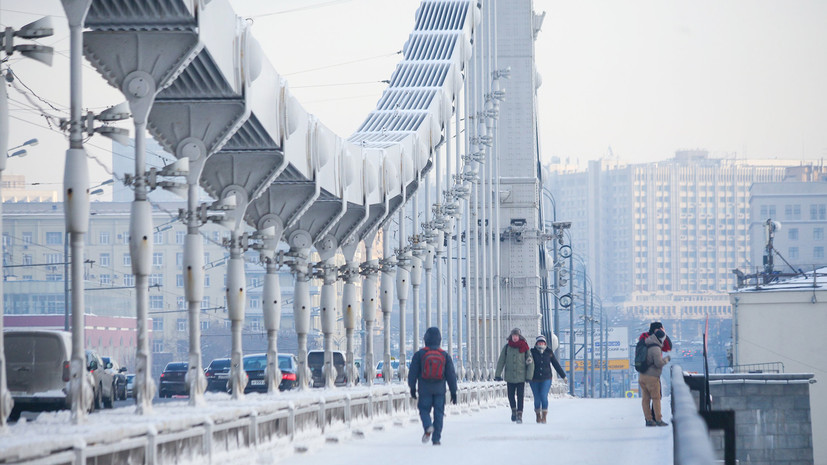
Cold air will come to Moscow for a weekend from the northeast. Severe frosts will be established in the capital, and by Monday, December 17, it is expected to reach -18 ° C at night. This was stated by Anatoly Tsygankov, Deputy Head of the Situation Center of Roshydromet, in a conversation with RT.
“The weather will be cloudy with explanations, light snow is possible ... Daytime temperatures -5 ... -7 ° С. On Sunday it will be cooler in the afternoon - -12 ... -14 ° С, at night -13 ° С. Monday is the coldest day next week, at night it will be -13 ... -18 ° C, in the afternoon -9 ... -14 ° C, ”said the forecaster.
The site Rosgidromet reported that the temperature that will come in the metropolitan area, below normal by 4-6 ° C. At the same time, the temperature that was observed before this cooling was above the norm, Tsygankov stressed.
“The weather smoothly returns to winter, because before that the temperature was above normal. The height of the snow and the amount of precipitation are now also normal - 15 cm with a norm of 14-15 cm, which is normal for half a month. From the north, a cyclone descends from the Baltic, pressure is growing, ”the expert added.
According to Phobos, the temperatures in Moscow and the region will be below the norm by 8 ... 10 ° C and will last until the middle of next week. On duty told the on-duty forecaster center Alexander Sinenkov.
“Such a clear and frosty weather with an average daily temperature of 8–10 degrees below the long-term averages will remain in the metropolitan area at least until the middle of next week,” he said.
Sinenkov explained that the weather will change due to the increase in atmospheric pressure in the capital and the Moscow region.
“Against the background of increasing atmospheric pressure, the anticyclonic circulation of air masses will increase. And precipitation will stop, and the clouds in the sky will be less until cloudy weather. And this situation will contribute to more cooling at night of the already cold air, which at the weekend will start coming from the center of the European part of Russia from the east of the northeast, ”the expert added.
At the same time, Sinenkov added that in Moscow the temperature could drop to -19 ° C, and in the region to -20 ° C. However, this does not apply to the western areas of the Moscow region - there, according to Phobos, will be down to -10 ° C.
Due to low clouds, the earth cools faster, explained Tatyana Pozdnyakova, chief specialist of the Moscow Meteorological Bureau, in a conversation with RT. The forecaster also added that the wind will be weak, and therefore Muscovites will not feel severe frosts.
“With a light wind, which is expected in the conditions of anticyclone, we will not feel strongly that it is cold outside. Although, the air temperature will be significantly lower than the climatic norm, 5-6 degrees below the norm. Early next week, night temperatures will be even lower, ”she noted.
According to Pozdnyakova, in spite of the fact that the temperature will be significantly below the norm, it is impossible to call the weather abnormally cold. A warming, the forecaster said, should be expected no sooner than the next weekend.
“There is nothing extraordinary in such an event in mid-December. We will expect that such a frosty weather with a small snowball will be with us until the middle of the week ... But such periods of thaw or frosty weather continue for 5-7 days. Most likely, the whole next week will be with frost. If the temperature rises, it will be only next weekend, but so far it’s not a thaw, ”she concluded.
Siberian frosts are postponed
According to Roshydromet, a cooling is waiting for not only the metropolitan area, but also the whole of Central Russia. The reason, as in the case of Moscow, will be the Scandinavian anticyclone.
At the same time, the opposite situation has developed in Siberia - the temperature in the region will exceed the norm.
“Cyclones from the west have caused warming. Their influence on Yamal, where the temperature exceeds the norm by more than 10 degrees, is especially pronounced, ”said center representative Lyudmila Parshina on the First Channel.
At the same time in the Novosibirsk and Kemerovo regions, in the Altai and other regions heavy snowfalls are expected.
“In Central Siberia, the weather is unstable. The south of Krasnoyarsk Territory will sweep with snow, the day after tomorrow there will be heavy snow in the mountains, a blizzard, but it will get warmer on Sunday to 0 .. -5 ° С In the central regions, on the contrary, everything goes to a cold snap, ”she concluded.